Wednesday, December 31, 2014

A New Year. Do Something New. See a New Place.

Peyto Lake in Banff National Park, Alberta, Canada

I've never been one for resolutions. Changes in my life tend to happen at the various times when the need for change becomes apparent and I try acting on them as a result. That being said, this is the closest thing I ever have to a resolution: this year, do something new and see a new place.
Hurricane Ridge in Olympic National Park, Washington

As I mentioned last year at this time, one of my favorite movies is the rarely seen Ollie Hopnoodle's Haven of Bliss. Never heard of it? That's a shame, because it was a gem of a movie, written by Jean Shepherd, who also wrote "Christmas Story", the classic tale of Ralphy and his quest to get hold of a Red Ryder BB Rifle ("You'll shoot your eye out!"). "Ollie Hopnoodle" follows the same characters a few years later as they take their family vacation. The thing is, they always went to the Haven of Bliss, a fishing lake up in Minnesota somewhere. Year after year. The story was great, but don't do that! Don't get caught up in sameness and habit!
Nankoweap ruins in Grand Canyon National Park
The world is so big and there are so many wonderful things out there to explore. Some are far away, but some as as close as your own backyard. Resolve to try something new, and to see someplace new. It's now been sixteen months since I was given the precious opportunity to float down the Colorado River with my brother and his family, and every minute of each of the 17 days was a gift that I can never forget. There were moments of unspeakable terror, but hours and days of bliss as well, as I finally achieved one of the great dreams of my life. I wasn't able to duplicate an event like this in the last year, but my life was enriched by a number of new experiences and new places.
The beginning of a river trip: Lees Ferry upstream of the Grand Canyon
I explored a new corner of the world, the Pacific Northwest and western Canada (you can read about the whole adventure here). I've been to parts of the region in the past, but we forged ahead with an ambitious itinerary with my students that included some of the most spectacular scenery I have ever seen.
Exploring the Grand Canyon and Colorado River, a defining experience in anyone's life

At the last new year I had just begun to explore a whole new world just beyond my front porch. It started with a new camera that I used to take pictures of birds in the local pasture, but before long I had begun a new exploration of the natural heritage of the Great Valley: the millions and millions of migratory birds that call our valley home during the winter months. There are a series of wildlife refuges within a few minutes drive of my home where one can see huge flocks of geese, ducks, and cranes. The sight of so many majestic birds in flight is just stunning. I'm looking forward to finding new treasures this year.
San Joaquin National Wildlife Refuge, near Modesto, California

My resolution, such as it is, doesn't change: try something new and different. See a new place. It can be one of the big dreams you've always had, but never believed it could be achieved; you can start right now to make it happen. Or make a small change and discover something new about where you live, whether it's to learn something geological, or ornithological, or biological. Your life will be richer either way.
Bald Eagle at Turlock Lake Recreational Area, just a few miles from my house. It's the closest I've ever been to one of these creatures (mind you, with a big zoom lens).

Explore the Wonders of the Colorado Plateau: Join Geotripper and the AAPG on May 23-29, 2015!

Antelope Canyon, on the Navajo Reservation near Page, Arizona
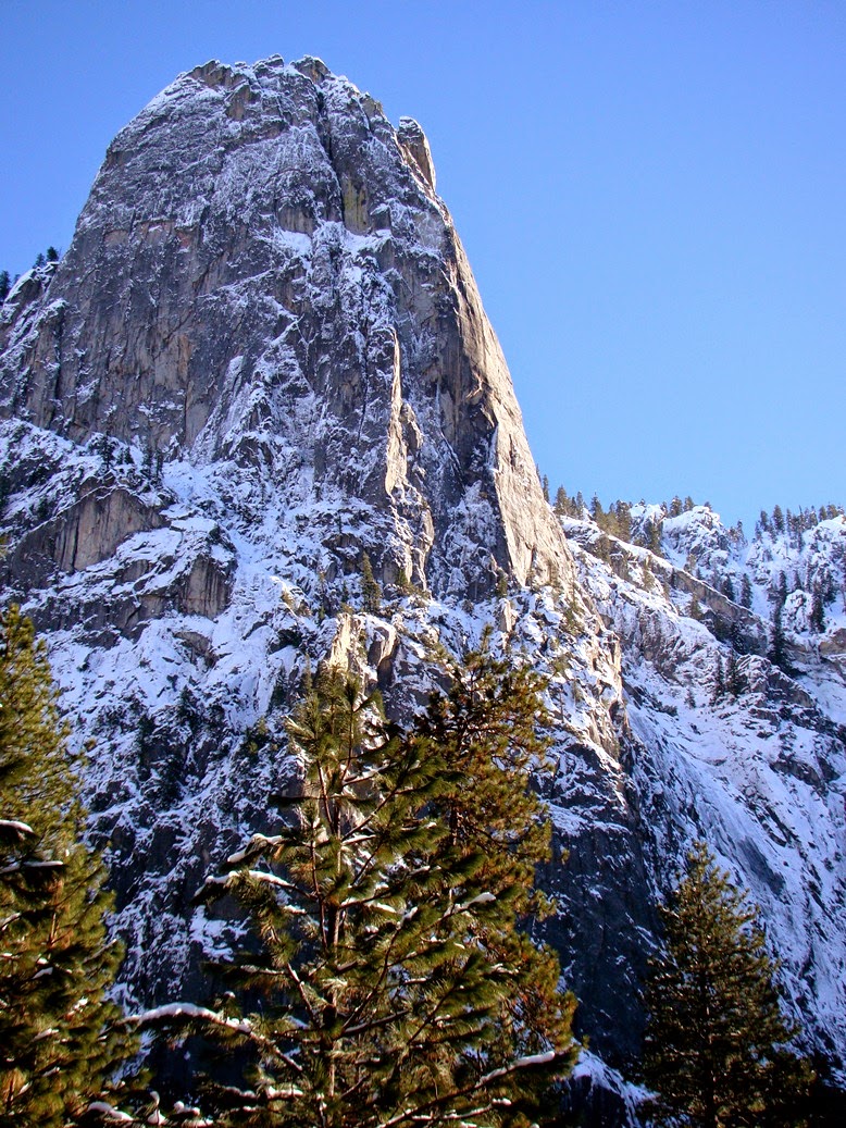
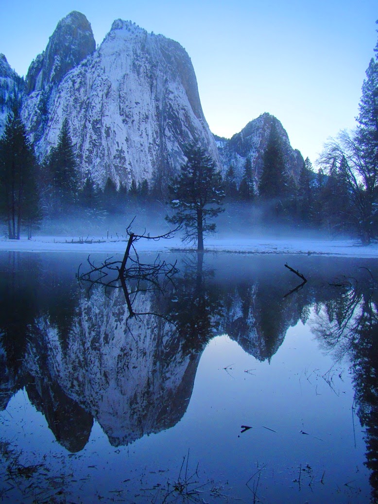
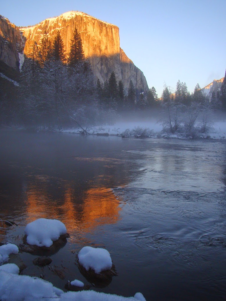
The Colorado Plateau, the region encompassing large parts of Arizona, Utah, New Mexico and Colorado, is one of the great geologic showplaces on planet Earth. Within the region, one can see in vivid colorful detail nearly two billion years of Earth history, from the ancient Proterozoic crust exposed at the bottom of the Grand Canyon to the Cenozoic lake sediments that formed the strange hoodoos of Bryce Canyon. The plateau country has been central to many of my blogs over the last five years, including three major series: Time Beyond Imagining, Vagabonding Across the 39th Parallel, and The Abandoned Lands. In addition to being a bountiful source of information about the past, it is one of the most beautiful landscapes in the world.
The Great Unconformity, the erosional boundary between the Proterozoic rocks of the Yavapai Orogeny and the Cambrian Tonto Group exposed in Diamond Creek on the Hualapai Reservation.
On May 23-29, 2014, I will be conducting a tour through the heart of the Colorado Plateau under the auspices of the American Association of Petroleum Geologists. The trip will begin and end in Las Vegas, Nevada, and will be a 1,000 mile loop through Grand Canyon National Park, Glen Canyon National Recreational Area, Grand Staircase-Escalante National Monument, Bryce Canyon National Park, and Zion National Park. The purpose of the journey is to provide an introduction to this fascinating landscape to anyone with an interest in geology, including geologists, teachers, students, and their family members. One does not need to be a member of the AAPG to participate. We will travel in rental vehicles (friendly drivers provided!), and stay in hotels at or near the parks. The fee, including all transportation costs during the trip, accommodations, tour fees, park entrance fees, and the trip guidebook, is $3,100 ($3,300 after 4/24/14). The fee doesn't include food, or travel to and from Las Vegas, where the trip will originate.
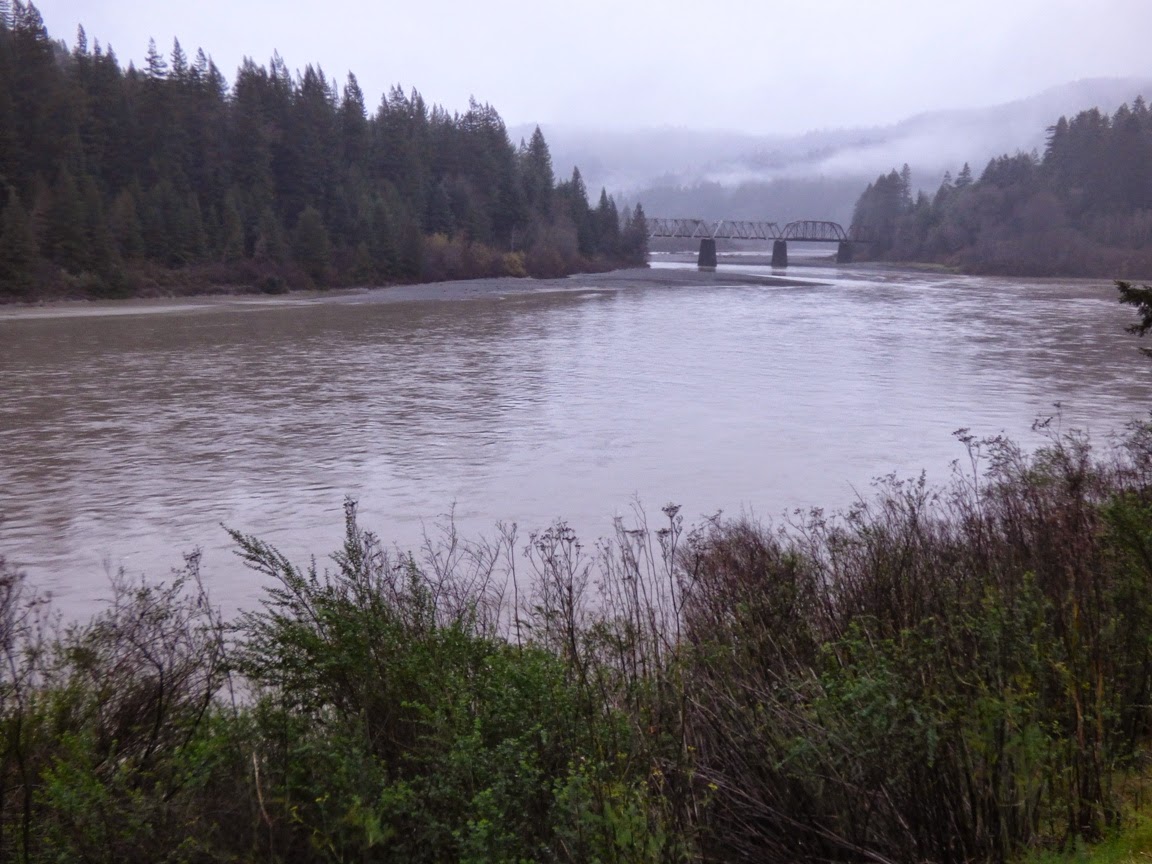
The Colorado River at Diamond Creek on the Hualapai Reservation
What will you see and learn? Our route will begin in Las Vegas. As we leave town, we will have a first look at the Colorado River at Hoover Dam, and then drive southeast on Highway 93 to Kingman Arizona. We will have a close look at the Peach Springs Tuff, remnants of a vast explosive eruption that blanketed thousands of square miles, providing some evidence of the origin of Grand Canyon.

From Kingman, we will head northeast on the longest remaining stretch of Route 66 to Peach Springs. At this point we expect to make our way down Diamond Creek, the only place where one can drive to the bottom of the Grand Canyon. We will have a close look at the Proterozoic and lower Paleozoic rocks of the canyon, formations not easily accessed in most parts of the Grand Canyon. If we are lucky, we may run across a herd of bighorn sheep.
We will then drive to the south rim of Grand Canyon, and spend a day exploring one of the most spectacular gorges in existence. Some free time will be available for a hike into the canyon, or for an optional canyon overflight. Relatively short (but steep) hikes from the rim provide access to the upper Paleozoic rocks of the plateau country, such as the Coconino Sandstone, Toroweap Formation, and Kaibab Limestone.
The following day we will work our way east to the canyon of the Little Colorado River and the Navajo Reservation. We will be exploring the Mesozoic formations of the plateau, including the Moenkopi, Chinle, Kayenta, Wingate and Navajo formations. Along the way we will stroll out to Horseshoe Bend on the Colorado River (below) and the incredible Antelope Canyon (the top photo), one of the most dramatic slot canyons to be found anywhere. We will spend a night in Page, Arizona, next to Lake Powell.
Horseshoe Bend on the Colorado River below Glen Canyon Dam.
From Page, we expect (weather conditions permitting) to follow Cottonwood Canyon to Grosvenor Arch and Kodachrome Basin State Park in Utah. The road follows the Cockscomb monocline, one of the major Laramide folds on the plateau (the southern extension of the fold forms the eastern edge of the Grand Canyon) through the heart of Grand Staircase-Escalante National Monument. The spectacular road exposes much of the Mesozoic stratigraphy found in the region, including the Tropic Shale, the Entrada Sandstone, and the Dakota Sandstone. Kodachrome Basin is a small gem of a park containing unusual sedimentary "pipes" that formed in the Entrada Sandstone.
The Cockscomb monocline near Kodachrome Basin State Park in Utah.
From Kodachrome Basin, we will climb through the Cretaceous sediments of the plateau country, including the Tropic Shale and Mesa Verde Group. We will arrive at Bryce Canyon National Park, which exposes one of the youngest formations on the Colorado Plateau, the Claron Formation. The hoodoos of Bryce are some of the most photogenic rocks to be seen anywhere. There will be time to hike below the rim for a completely different perspective on the unusual spires.
Wall Street Canyon in Bryce Canyon National Park
Leaving Bryce, we will head south along the Sevier fault and then turn west at Mt. Carmel Junction to drive into Zion National Park. Zion Canyon provides the best possible look at the incredible Navajo Sandstone, a Jurassic deposit that preserves the evidence of a vast sand sea that once covered a large part of the western United States.
Our route will take us on a little-traveled road through the western and northern part of the park to Lava Point. Along the way we will traverse a unique inverted stream, and pass through some rarely seen lava flows and cinder cones.

Leaving Zion, we will head southwest back to Las Vegas.

The guidebook for the trip was written by myself and my son Andrew, an anthropology professor at Modesto Junior College. It includes a great deal of information on the natural and human history of the plateau, as well as the geology.

There are a host of other wonders along the route! I've been writing about this country for a long time, introducing you, my readers, to one of the most beautiful and geologically rich corners of our planet. We've traveled together in words and pictures, and I would love the opportunity to travel with some of you in person this summer. Join us!

Detailed information and registration forms can be accessed at on the AAPG site (click here)  I would be pleased to answer any questions you might have by emailing me at hayesg (at) mjc.edu.

Tuesday, December 30, 2014

Evening Scenes of a Primeval Landscape: The Great Valley as it was


It's my home, and I've been known to denigrate it for it's pollution, dust, and visual desolation (hundreds of miles of monotonous agricultural fields). Only 5% of the original landscape of California's Great Valley remains. But there are times when my travels take me to places where I can travel back in time, and the natural beauty of the valley shines through. This week it was a return to the Sacramento National Wildlife Refuge near the small town of Willows just off Interstate 5. A six mile self-guided auto tour provides access to the refuge, and a visitor center provides interpretation.

As I have noted many times, the valley was a originally an arid savanna environment, with vast prairies, oak woodlands, with miles of riparian (river) habitat, and associated floodplain wetlands. The valley provided a living for horses, camels, antelope, bison, mammoths, mastodons, sloths, bears, sabertooth cats, lions, and dire wolves. After the great extinction at the end of the last ice age, the valley still had vast herds of pronghorn antelope, deer, and tule elk who were hunted by wolves, coyotes, grizzly bears, and mountain lions, and the new arrivals, the humans. Today the valley supports vast herds of dairy cows, pigs, and sheep (along with the occasional small herds of horses or llamas).

We had already traveled 400 miles, and had 160 to go, and the sun had just slipped below the horizon when we arrived at the refuge. Yet we couldn't resist the urge to stop and have a look at this fascinating spot that we had discovered only a month earlier. We thought we would be alone, but there were a dozen other cars on the auto tour. The natural environment of the Great Valley has a lot of appeal.

After a week of hectic traveling all over the northwest, the peacefulness of the twilight was a welcome moment. The birds, thousands upon thousands of Snow Geese, Ross's Geese, and numerous species of ducks, were settling in for the night.

The valley serves as a winter haven for many dozens of species of birds who spend the summers far to the north, in Canada and Alaska. We rarely have freezing nights or snow, and the wetlands and grasslands provide a source of food during the lean months. The string of federal, state and private wildlands and refuges up and down the valley provide a piece of the original environment that allows the birds and other animals to survive.

The darkness was growing as we came around the final corner of the auto tour. We noticed for the first time the moon high in the sky above us. After a week of gloomy overcast skies, it was a surprise to see that the moon was already half full. We drove back onto the paved highway, and headed home.

Monday, December 29, 2014

The Volcano That Wasn't There, and Two That Were...

Mt. Shasta and Shastina from the north
I hope that your holiday travels were safe and happy. I had a fine time visiting family across the Pacific Northwest, from Seattle to central Oregon, Northern California and home again. I had been looking forward to seeing a bevy of Cascades volcanoes, including Mt. Rainier, Mt. St. Helens, Mt. Hood, the Three Sisters, Mt. McLoughlin and the others. Of course, the Northwest had no intention of revealing its treasures, as clouds and rain dominated our trip from one end to the other. There was plenty of geology, mind you, as we saw all manner of flooding, landslides, and mudflows, but I admit to feeling a tiny bit of disappointment at finding the Cascades hidden from sight.
Mt. Shasta from near Weed (photo by Mrs. Geotripper from a fast moving vehicle!)

It wasn't until the last day of our travels, a 600 mile drive from central Oregon to the Great Valley in California that we saw anything of the high Cascades. We crossed the Siskiyou Mountains in a light snow storm, but by the time we reached the Klamath River in California the skies had almost magically cleared. As we turned around the ridge near Yreka, Mt. Shasta came into glorious view. Shasta is the second highest (14,179 feet; 4,322 meters) and most voluminous of the Cascades volcanoes, and the second most active (after Mt. St. Helens). It last erupted in 1786. The volcano consists of at least four volcanic centers, including Hotlum Cone, the highest peak, and Shastina, a parasitic cone on the west side of the mountain (on the right side of both photos above). Shastina is actually the third highest Cascade volcano at 12,329 feet (3,758 meters) .
Lassen Peak from near Red Bluff
Later, as the sun sank lower in the western sky, we were treated to a rare valley view of snow mantled Lassen Peak (10,463 feet; 3,189 meters). Lassen is a dacite plug dome that came into being during a series of eruptions around 27,000 years ago. It has the distinction of being the most recent volcano in California to erupt. After a series of nearly 200 phreatic explosions from May of 1914 to May of 1915, the volcano produced a dark viscous lava flow that melted much of the snow around the summit that resulted in a major lahar (volcanic mudflow). A few days later there was a large explosive eruption of ash, with a pyroclastic surge that destroyed about four square miles of forest.
Lassen Peak and the remnants of Mt. Tehama
I was even more pleased with the view of the volcano that wasn't there. If you look to the right side of the photo above, you can see a series of ragged peaks, which include Brokeoff Mountain, and Mt. Diller. They are the remnants of a large stratovolcano that would likely have towered over Lassen Peak. The peak, now called Mt. Tehama (or Brokeoff Volcano), grew during a long series of eruptive events between about 590,000 and 385,000 years ago. The eruptions grew silent, and erosion began to attack the extinct volcano. It is interesting to sit in the midst of these peaks (the main park road passes among them) and realize that one is looking out from the deep interior of volcano.
It was nice to see the coating of snow on the mountain peaks of northern California. The snow depths are still less than they need to be, but they are certainly better than the near lack of any snow at all that we saw last year during our holiday travels.

Thursday, December 25, 2014

Holiday Wishes: The Nation's Christmas Tree and Holiday Images of the Ah-wah-nee

Merry Christmas and Happy Holidays to all! As is my tradition, I offer up once again a very big Christmas tree, the General Grant Tree in Kings Canyon National Park. The tree is so large (268 feet high, 40 feet across at the base) that it took three pictures for me to capture it.
The tree was declared by Calvin Coolidge in 1926 to be the nation's Christmas Tree. At an early ceremony, park superintendent Colonel John White said ""We are gathered here around a tree that is worthy of representing the spirit of America on Christmas Day. That spirit is best expressed in the plain things of life, the love of the family circle, the simple life of the out-of-doors. The tree is a pillar that is a testimony that things of the spirit transcend those of the flesh." I don't have a shot of the General Grant all dressed in snow, so here is another Sequoia after a surprise storm during an April trip.
In honor of the season, allow me to offer up views of my favorite winter haunt, Yosemite Valley. Mrs. Geotripper and I try to get up there every year about this time, and it may yet happen this year too. Snow is a magical thing in California, a source of wonderment and beauty. We aren't really all that familiar with it!

I want to thank all of my readers, new and old, for your attention and kind comments over the last six years. I've always enjoyed hearing from you, and appreciate getting to know my new friends from all over the world.
Bridalveil Falls under ice
Upper Yosemite Falls with a rainbow
Sentinel Rock in icy conditions
The Cathedral Rocks
El Capitan
I wish a wondrous season to you all!

Monday, December 22, 2014

A California Geologist Observes a Flood in Oregon: Hilarity Ensues?

OMG, a gigantic river! The Umpqua River below Roseburg, Oregon
I'm really more of a desert rat. I hail from a dry valley in California, I take my students on extended field trips to places like Death Valley and the Colorado Plateau. The rivers that I know would be considered something like large creeks in a place like Oregon or Washington. I just don't see stuff like this where I live.
I've been traveling up the California coast into Oregon, and landslide problems forced us inland from the coast onto Interstate 5, and with the long day and the extra 200 miles added to our itinerary, I just flaked out and stayed the night in Roseburg along the Umpqua River. As noted in yesterday's post, the river reached flood stage last night, but just barely, rising a foot above the minimum considered to be a flood. But the amount of water! At the peak, the discharge at Elkton a few miles downstream was 131,000 cubic feet per second!

Here's why this is so ridiculous to me. In 1997 the Tuolumne River, which flows near my home, experienced its greatest flood in recorded history, with a peak flow of about 70,000 cubic feet per second. It could be such a rarity at that level that another such flood has but a one in three hundred or four hundred chance of happening in any given year. In other words, quite probably not in my lifetime or yours. And that extraordinary flood was barely more than half what I saw today on our journey down the Umpqua River to the coast.

I just don't often see rivers this big, or filled to this level. So my two hour drive turned into a four hours as we stopped to take pictures and stare at the flooding river.
It was clear that trees (and the odd telephone pole or railroad tie) were ripped from banks upstream. There was a lot of debris in the river. Roseburg had received about two inches of rain the previous day, but the mountains upstream got much more than that. The ground was no doubt saturated from the rains of the previous week, so much of the precipitation ended up in the river.
Graph of
A flood hydrograph, like the one above, is the tool that hydrologists use to analyze river flow and to predict possible flooding. It takes some time for rainwater and snowmelt to get into channels and flow downstream. By comparing the pattern, timing, and amount of precipitation in a given storm compared to storms of the past century (most U.S. rivers have been monitored for that long), they can predict hours in advance how high the floodwaters will reach, and for how long. For major rivers with huge drainage basins (like the Mississippi River), the warnings can be days ahead of the flood.

The Umpqua River flows into a large estuary at Reedsport, Oregon, and just upstream is a Roosevelt Elk viewing area. I would never have noticed such a thing on any other day, but the highway was actually a flood protection levee that prevented the river from flooding the meadows where the elk hang out. Driving along, I could see the Umpqua River just a foot or two below the level of the highway on the right, and the elk refuge on the left, about six or seven feet below river level! There was certainly some ponding as can be seen in the picture above, but if the highway weren't there, the entire scene above would be under at least four feet of water.

So this was a minor flood in the big scheme of things, barely rating mention in the local media. If you wonder what would really get their attention, how about the greatest flood ever recorded on the Umpqua River? It began on this very day fifty years ago, and the amount of water reached at least 260,000 cubic feet per second, about twice the flow of today's event. It's hard to even imagine.

So...your desert-living geoblogger got to get all fascinated about a river today. More rain is expected this week. If anything interesting happens, I'll let you know, and all my Pacific Northwest readers can quietly chuckle at my amateurish enthusiasm for BIG rivers.

Rain? In a Rain Forest? Exploring California and Oregon on the 50th Anniversary of the Biggest Flood Ever

Humboldt Redwoods State Park, California
It starts with little cascades like this...
Humboldt Redwoods State Park
That grow into brooks like this, repeated thousands of times over...
Prairie Creek, Redwood National Park, CA
Which leads to this...
Prairie Creek Elk viewing area, Redwood National Park
Our Christmas travels took us into the northwest of California and into Oregon, and as luck would have it, we drove right into a continuation of the storms that have been pounding the west coast this month. At home, we've already received more precipitation than all of last year's horrific drought totals. As we drove north on Highway 101, we watched the rain falling for hours, and soon, every waterway was filled with muddy water. It may be the first truly cleansing flows these channels have had in some time.
Eel River at Phillipsville
I don't think any records are in danger of being broken, but with the anemic levels of precipitation over the last three years, it was nice to see these rivers brimming with water. Now that I have access to some data, I am finding some impressive numbers stacking up. The Klamath River is flowing at 95,500 cubic feet per second, 961% of normal daily flow for this time of year. The Smith River reached 65,000 cfs for awhile (about 20 times normal), and Redwood Creek was around 11,900 cfs, about ten times normal.
Eel River, CA
The ultimate for our day was the Umpqua River near Roseburg, Oregon. Just downstream at Elkton, it is flowing at 131,000 cfs, a bit above flood stage. Compare to three or four days ago when it was flowing at about 5,000 cfs.
Umpqua River at Roseburg, Oregon

Umpqua River at Roseburg, Oregon


 A year ago at this time, the river was pretty much a pool...


Here is how hydrologists see these rivers, with a graph that shows the discharge (cubic feet per second) over a week's time. The effect of the latest storms is clear.
 Graph of

The water flows will undoubtably drop off over the next few days, but it is impressive to see what the rivers can do. Today is the 50th anniversary of the worst floods ever in the region, the 1964 Christmas Floods. In that flood there had been a cold snap where a great deal of snow had accumulated and the ground was frozen. Then, over several days around Christmas, a Pineapple Express storm dropped prodigious amounts of rain, which melted the snow, but did not melt the soil, so little of the rain was absorbed into the ground. Around three dozen people were killed, and several dozen villages were completely erased. Many dozens of bridges were destroyed, and numerous other towns were cut off for weeks.

Compare the numbers:

Klamath River today, 95,500 cfs, in 1964, 565,000 cfs.
Eel River today, 40,000 cfs, in 1964, 750,000 cfs.
Rogue River (Oregon) today: 23,500, in 1964, 200,000 cfs.

By some estimates, such a flood is estimated to happen maybe once in a thousand years.