Thursday, December 31, 2015

Dreams of Summer and Southwest Travels: A Canyon Grander than All

It's winter, and it's cold outside. I won't be in the field for another six weeks, so for now I'm reveling in the memories of this last summer, a journey through the Southwest states. We started our field studies trip at Hole in the Wall in the Mojave National Preserve, and after spending the morning hiking in Banshee Canyon, we hit the road and moved on to the state border with Arizona. We were on our way to the grandest of all canyons: Grand Canyon.
The canyon is more than 200 miles long, and averages a mile (1.6 km) in depth. It cuts through 1.7 billion years of Earth history. There really is no place in the world like it. It's a spectacle, but it's also one of the world's greatest outdoor laboratories. We arrived late in the day, and strangely enough we had to drive through ice to get there. A fierce hailstorm had dumped inches of ice granules along the highway. We reached the rim as the storm cleared.
As the sun reached the horizon, it peeked out from under the clouds, and the upper canyon walls lit up with soft warm orange light. This wasn't a moment for learning, it was a moment for awe. Most of our students had never been to the Grand Canyon, and they seemed stunned. It's one of the times I love as a teacher, because after the awe comes the questions, and with questions comes true learning. But the learning could wait until tomorrow.


Monday, December 28, 2015

Dreams of Summer and Southwest Travels: Hole in the Wall, Mojave National Preserve

Christmas is over and suddenly the snow and blizzards aren't so fun any more. I find myself dreaming of warmer places and times, including a great journey we took last summer across the southwest with my students. Since my current travels are over until February, I'm going to travel through the archives to check out some marvelous geology along our southwestern tier of states: Arizona, New Mexico, Colorado, Utah, and Nevada. But really, no place is more southwestern than California, where we will start this journey.
The Mojave National Preserve is one of our nation's newest parks (established in 1994). It was carved out from Bureau of Land Management lands in the eastern Mojave Desert, preserving one of the most awesome sand dune complexes in the country, the Kelso Dunes, a barren landscape of geologically recent volcanic cinder cones, one of the largest Joshua Tree forests in existence, and some of the highest mountain ranges in the Mojave Desert, with rocks as old as 1.7 billion years old, as ancient as those in the bottom of the Grand Canyon. The preserve also encompasses a California State Recreation Area, the Providence Mountains, and Mitchell Caverns, a unique limestone cave system. The caverns were closed during the recession, and then severely vandalized, but there are hopes that they will reopen in 2016 (see this Facebook page for updates).
One of the most interesting corners of the park is called Hole in the Wall, along with Banshee Canyon. We stayed at the nearby campground our first night on the road. It is a wonderfully isolated spot, 25 miles off the main highway, and even farther from developments of any kind. It has some of the darkest night skies I've ever seen, and it is serenely quiet (except for crickets and coyote yowls).
The region is quite unlike other parts of the Mojave. Instead of deeply eroded mountain ranges and wide flat valleys, the area around Hole in the Wall is composed of mesas and plateaus that seem to share more in common with the Colorado Plateau province just to the east. But these mesas aren't like Arizona's either. They are composed not of sedimentary layers, but of volcanic tuff, rock derived from unimaginably huge volcanic explosions the likes of which modern humans have never experienced.
Twenty million years ago, the region was one of low relief, the result of tens of millions of years of erosion and relative stability. But conditions were changing as the crust was stretched and broken up into a series of tilted fault blocks. The release of pressure on the underlying mantle allowed partial melting to take place, and volcanic activity exploded across the region.
The first eruptions took place about 18.5 million years ago when the Peach Springs tuff coated the entire region from an eruption center near Oatman, Arizona. The eruption involved as much as 150 cubic miles (640 km3) of powdery white ash that was so hot that in many places it welded into solid rock as it landed.
Shortly afterward (in geologic terms, anyway, as it was 700,000 years later), a second caldera developed. It was located even closer, in the adjacent Woods Mountains. The eruptive "crater", actually a collapse pit, was about 5-6 miles across, roughly similar in size to Crater Lake. Once again, all life was obliterated for hundreds of square miles as hot ash blanketed the landscape. The Wild Horse Mesa Tuff makes up most of the rock found at Hole in the Wall.
The strange holes that gave Hole in the Wall its name are called tafoni. Small differences in the degree of solidification or cementation cause depressions to form which end up staying wet longer, and the minerals decay into small fragments that can easily wash or blow away.
A short trail (1.5 miles) loops around Banshee Mountain and explores the best of the eroded tuff. Starting at the small visitor center, the trail drops through a rugged narrow canyon. There are some drop-offs, but rings have been attached to the canyon wall, making it a lot easier to climb up or down. Once past the narrows, the trail has a gentle gradient, and provides interesting views in all directions. There is a nice collection of petroglyphs on some of the boulders around the south end of the mountain.
If you want to visit this fascinating corner of the desert, you'll have to search it out. It's not a quick roadside stop, but is instead a place to take a bit of time to explore. The time is well worth it!

Thursday, December 24, 2015

A Merry Christmas and Happy Holidays from a Winter Wonderland!

Merry Christmas and Happy Holidays to all! As is my tradition, I offer up once again a very big Christmas tree, the General Grant Tree in Kings Canyon National Park. The tree is so large (268 feet high, 40 feet across at the base) that it took three pictures for me to capture it.
The tree was declared by Calvin Coolidge in 1926 to be the nation's Christmas Tree. At an early ceremony, park superintendent Colonel John White said ""We are gathered here around a tree that is worthy of representing the spirit of America on Christmas Day. That spirit is best expressed in the plain things of life, the love of the family circle, the simple life of the out-of-doors. The tree is a pillar that is a testimony that things of the spirit transcend those of the flesh." I don't have a shot of the General Grant all dressed in snow, so here is another Sequoia after a surprise storm during an April trip.
In the spirit of full disclosure, I'm not actually there, and there's no snow where I'm at, but it could happen. Temps in Seattle are in the thirties, and there is precipitation coming down. Instead, I'm offering up some scenes of some of my favorite holiday haunts, Yosemite Valley. Mrs. Geotripper and I try to get up there every year about this time, and it may yet happen this year too. Snow is a magical thing in California, a source of wonderment and beauty. We aren't really all that familiar with it, especially over the last five years!
Bridalveil Falls under ice
This is turning out to be a season of hope, as the Sierra snowpack has reached 100% of normal for the first time in years. The El NiƱo weather pattern, the strongest ever recorded, has not yet exerted itself, but the warm waters of the Pacific Ocean have already added some oomph to the storms we've already. In 1997, we were hit with a series of incredibly warm storms that caused record flooding. We find ourselves hoping for a more measured series of storms that could fill our reservoirs without flooding.
Upper Yosemite Falls with a rainbow
In the meantime, please enjoy these wintertime scenes from my treasured spot on the planet. Yosemite Valley is a place born of fire and ice, the "fire" from below that melted the crust into magmas that eventually became the granitic rocks, and the ice that helped to shape the stunning valley (the Merced River did most of the deepening of the canyon, while the ice sculpted the walls into their unique shapes and patterns).
Sentinel Rock in icy conditions
Yosemite Valley is just seven square miles (seven very famous square miles) in a park that has more than a thousand square miles. The park provides protection for the headwaters of the Tuolumne and Merced Rivers, both of which have carved spectacular gorges out of the granitic rock. Much of the park is roadless wilderness, but paved highways explore the Tuolumne Meadows and Glacier Point regions.
The Cathedral Rocks
Yosemite Valley, though, is a true treasure, with a striking combination of vertical cliffs, high waterfalls, quiet meadows (if you catch the right moment), and flowing rivers. I visit whenever I can, never once taking this incredible place for granted. It's one of the greatest gifts that nature has provided us.
El Capitan
I want to thank all of my readers, new and old, for your attention and kind comments over the last seven years that I've been blogging. I've always enjoyed hearing from you, and appreciate getting to know my new friends from all over the world. I wish a wondrous season to you all!

Wednesday, December 23, 2015

The Airline Chronicles Briefly Return! Pacific Northwest Sights

Do you know what I like about flying? I admit that there is much not to like about flying, starting with navigating airports while dragging luggage, standing in security lines, paying $4 for a bottle of water, sitting in airplane seats designed for thin 12-year-olds, and waiting for baggage and rides at crowded airports. On the other hand, when one is at 36,000 feet, at that moment one is seeing a part of the world that no one else is seeing. And from rarely seen angles.
I don't fly as often as I would like, so I always keep my camera handy, since one never knows what might come up. A big storm had just hit the entire west coast, and clouds were everywhere as we flew towards the Pacific Northwest, so there wasn't much to see at first. But we were among the first people in California to the see the sunrise.
My phone GPS works in airplane mode, so I knew the very moment that I flew past Lassen Peak (covered by clouds), Mt. Shasta (under the plane), Crater Lake (under the clouds), and all the Cascades volcanoes of Oregon (under the clouds). A volcano finally rose above the clouds off in the distance. I thought it could be Hood, but I realized the only volcano tall enough that day was going to be Mt. Rainier, at over 14,000 feet in elevation. That's it in the first picture, after our descent towards Seattle, and in the picture above when we were still at a high elevation.
The biggest treat came when we approached SeaTac. I was on the right side of the plane, and a series of snow-covered peaks came into view through the windows on the left. Yes, I was silly enough to try to snap a zoomed shot through the window on the other side of the plane! The Olympic Mountains were shining bright in the morning sunshine, a sight no one on the ground could see that day. I didn't want to miss.
The planed banked to make its approach to the runway, and for a moment I could see the Olympics from my side of the plane as well. And then we descended through the clouds and the Seattle town center appeared through the mist. The Space Needle is hard to miss!

The Airline Chronicles was one of my first blog series, and I've returned to it on those rare occasions that I get to fly somewhere. The flight home is a nighttime flight, so it's going to be some time before we see another post in the series. Enjoy!

Sunday, December 20, 2015

Remembrance of the Past: A Great Valley Love Story, in Poetry


So it turns out I wasn't the only person writing words of love for my adopted homeland, the Great Valley of California. I write geology and environment words, and not poetry. But my home town of Modesto has a Poet Laureate. Her name is Gillian Wegener, and she recently penned a beautiful sonnet work about the valley that has been enshrined in our 
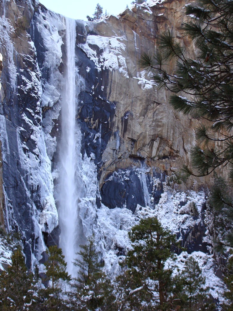
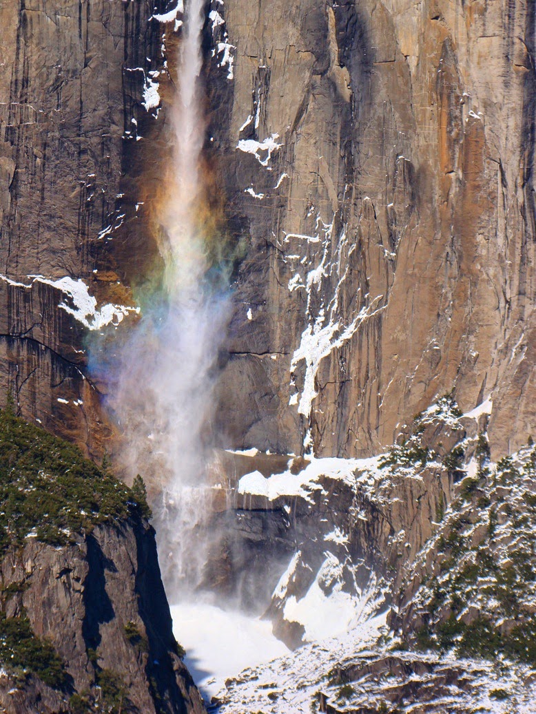
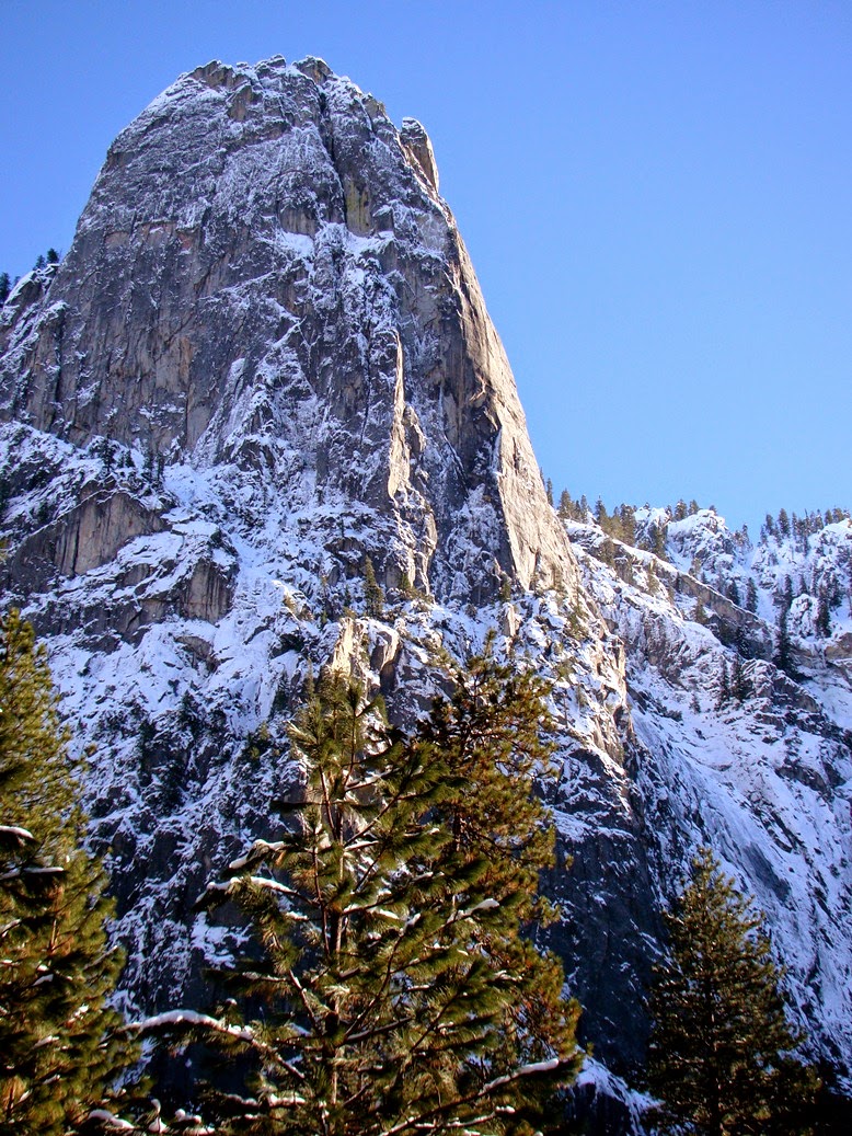
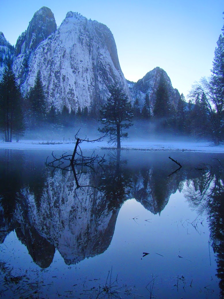
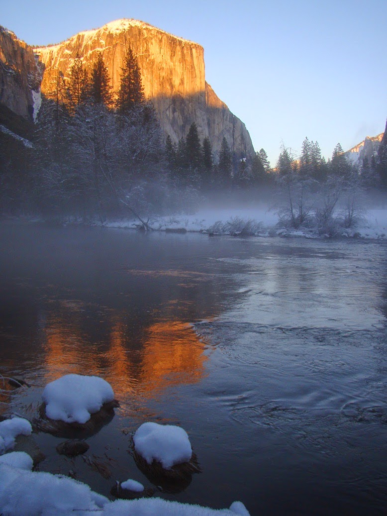
Great Valley Museum of Natural History at Modesto Junior College. The museum is a wonderful introduction to the natural world that lies hidden beneath millions of acres of agricultural fields and cities. There's a little bit left of the world from before, as those of you who've followed my blog would well know by now. So, please enjoy some poetry, as well as some scenes from my last few trips to the old world of our valley (the Merced and Sacramento National Wildlife Refuges)

Home


There is so much we will forget

And most of it doesn’t matter-

The grocery lists and the Tuesdays-

But we can’t forget that first

Our Valley was grassland,

Was riparian woodlands, was marsh,


Was peopled by those who knew

The places where the fish gathered,

Who knew the seasons of oaks,

Who knew the stories the stars told.

We cannot forget the way the wind,

Given its unimpeded way, ripples

The needle grass and the waters,

Moves them in the same rhythms.

And let’s not forget the calls of the cranes

Filling the air with a sound so dense

There’s almost no room for breath.


And we must remember too what’s already lost:

The grizzly, so much of the quiet marshlands…

Our world is poorer without them.

But the rivers still converge and

The beavers build their dams

And the hawks, ferruginous and red tail, drift

On the thermals, and all of this was happening,

Was here, before we were, before

Our grocery lists and our Tuesdays.


So we can’t forget the vernal pools

With their sudden flowers, and

Their patient species, buried and waiting,

Earthbound constellations of life mirroring

The constellations that shine above us


With stories we can’t forget, just as we can’t forget

That an earthquake in far off ocean makes waves

That flow, that propagate to our nearer shores,

That the moon’s gravity tugs at our wild oceans,

That our galaxy has wrapped its spiraling arms

Around our sun, that our sun is just one bright star

In a universe filled with bright stars,


The space between them expanding

Faster than we’d even imagined, and

We can’t forget, even as we’re learning,

Even as we are amazed at finding ourselves here

In this universe, in this galaxy, on this planet,

In this broad valley, with these creature, in this place

With its pockets of grasslands and woods

Which we won’t forget, which we will care for,

Because this is where we live, one of many species.

This is our shared and wondrous home.


A poem for the Great Valley Museum

January 17, 2015
 For more information about the Great Valley Museum, follow this link: http://www.mjc.edu/instruction/sme/gvm.

Saturday, December 19, 2015

A Netherworld Incompatible with the Existence of Life: The Mantle Exposed at Del Puerto

Our journey into the interior of the Earth has reached a remarkable boundary, the base of the oceanic crust. Beyond the crust, underneath the Mohorovičić discontinuity, lies the mantle, a layer that extends halfway to the center of the Earth. We have been driving up Del Puerto Canyon, a scenic route that crosses the Diablo Range in the central part of California's Coast Ranges. The rocks at the headwaters of the canyon have formed a landscape unlike any other. It's a landscape of the underworld, the netherworld.
Serpentine in the upper canyon. Serpentine is highly altered mantle material.
The netherworld is a place in the mythology and religion many cultures, a dark and hot place deep within the Earth that is the habitation of death. It's no place that a human would ever want to be. And yet, here we were, on a sunny December afternoon. It's not necessarily a place of death, but at the same time the rocks were never really able to support life. They formed in an environment where life was impossible, and life at the surface is ill-adapted to survive in such rocks.
The Earth's mantle is composed of a variety of ultramafic rocks, rocks rich in iron and magnesium and a suite of elements not commonly found in the overlying crust: mercury, chromite, nickel, platinum and cobalt. The rocks found in the upper canyon include varieties of dunite and peridotite, which are olivine-rich rocks. In most places such rocks are quickly altered into serpentine, California's state rock, but in upper Del Puerto Canyon, you can find largely unaltered ultramafic rock.
The plant cover is strange, and quite unlike any found on "normal" crustal rocks. Grass is almost nonexistent, and the ubiquitous California oak trees are nowhere to be found. There are too many toxic substances in the soil, and not enough of needed nutrients. The few scattered plants that can survive on such soils include the California endemic Gray Pine and some species of manzanita. A great many wildflowers have adapted to these soils, and the slopes can be quite colorful in wet years.
The rocks have yielded economical amounts of mercury, chromite and mercury. Our stop at the head of the canyon was at an old chromite mine. Despite the obvious use to make cars sparkle and shine, chrome has more important uses in making stainless steel and armor. During peaceful times, chrome is cheaper from overseas sources, but in wartime, the ores in the canyon become valuable. They were last mined during World War II.
Mercury was sought for use during the Gold Rush as a way to separate gold from the ore. There are extensive deposits in the upper canyon and just beyond the pass at the head of the canyon. Mercury mining was lucrative, but deadly. Miners who absorbed mercury into their nervous system quickly developed symptoms and often died. Mercury continues to poison water and sediments in the Central Valley and San Francisco Bay.
Altered ultramafic rocks from the upper canyon
The upper canyon has numerous kinds of rocks to observe. The two pictures above show ultramafic rocks that were in the process of altering to serpentine. The core sections are composed of enstatite pyroxene (which I believe is also known as bronzite when slightly altered like this).
Chromite ore from the upper part of Del Puerto Canyon
It's not too difficult to find small metallic grains of chromite. It takes a bit more searching to find some relatively unaltered peridotite or dunite. It's a beautiful rock, with the rich green of the olivine, which is also known as the gemstone peridot. That's right, there are outcrops of gemstones in the upper canyon! If you are ever up that way, take a close look at the rocks near mile marker 18.
Peridotite from the upper reaches of Del Puerto Canyon
So, our journey into the interior of the Earth is pretty much done. The rocks of the core are just too deep to visit, even with unobtainium (movie reference! The Core, and Avatar). It's a pleasant way to spend an afternoon, exploring the netherworld in the bright light of day!

If you want to pay a visit to Del Puerto Canyon, it can best be accessed from the town of Patterson in the Central Valley southwest of Modesto. A road (Mines Road) reaches the area from Livermore, and a slow winding road travels over Mt. Hamilton and Lick Observatory from San Jose in the Bay Area. There is a campground and day use area in the upper canyon (Frank Raines Park and Minniear Day Use), but most of the rest of the canyon is private land. Stay on the road!

Thursday, December 17, 2015

Driving to the Center of the Earth in Del Puerto Canyon...Piercing the Ocean Crust

Rugged terrain in the upper Del Puerto Canyon just beyond the Tesla-Ortigalita fault (on the right near the people)
As in the last post, I'm exaggerating a little bit. We're not going to the center of the Earth, we are instead using California's unique geology to explore the mantle, the layer that extends from 20 miles to about 1,800 miles depth, about half way to the center. These rocks have been on a long journey to reach the Earth's surface, and they are not often seen by casual explorers.
Volcanic rocks in Del Puerto Canyon. These are either pillow basalts or highly jointed rocks.
In our first post, we had driven through the five mile (8 km) thick sequence of sedimentary rocks laid down on the floor of a relatively shallow ocean (the Great Valley Group). We reached a major fault near the base of the sedimentary rocks and the canyon changed in a major way. The smooth gentle slopes of grass gave way to rocky slopes covered with brush, scrub oak and the occasional cypress tree. The rocks had changed. We had reached the ancient oceanic crust, known here as the Coast Range Ophiolite.

An ophiolite sequence is a unique series of rocks that are usually understood to represent a cross-section of oceanic crust. The top of an ophiolite is composed of pillow lavas, lumpy chunks of basalt that form as molten rock encounters cold ocean water (see some forming in this short video). Those might be some pillow basalts in the picture above, but I've never been able to get close enough to confirm it. It could also be highly jointed volcanic rocks.
Beneath the pillow basalts, one might expect to find sheet dikes, fractures that have been filled with volcanic rock that had been on the way upwards to the ocean floor. The sheet dikes are not obvious in Del Puerto, although they can be picked out in a couple of places (we didn't stop in the right places on this trip).

There is a prominent dike in the canyon, but it is not actually part of the ophiolite. The rugged ridge is composed almost entirely of quartz. It probably formed millions of years after the others as hot hydrothermal fluids flowed through cracks and fractures. It's been investigated for gold mineralization, but I don't think anyone has found any ores worth mining (not that they wouldn't try; it's still under claim).
Quartz vein and gabbro outcrops in Del Puerto Canyon
Beneath the sheet dikes, one would expect to find the plutons that once fed the eruptions of basalt and other lavas on the seafloor. The magma that remained cooled slowly over thousands of years, forming a coarse-grained rock composed of crystals of amphibole, pyroxene, plagioclase feldspar, and maybe some olivine. The plutons are usually composed of a dark rock called gabbro, but some of the rocks are lighter-colored, a variety called diorite.
Highly jointed gabbro and diorite in Del Puerto, rocks of the lowest part of the oceanic crust
The presence of diorite and some silica-rich volcanic rocks in the upper parts of the sequence throws  a wrench in the normal interpretation of ophiolite, especially those that occur in California. Ophiolites that form at oceanic ridges (divergent boundaries) are usually poor in silica (composed almost entirely of basalt and gabbro). The ophiolite in the Coast Ranges of California may have formed in a more complex tectonic setting, in and near an island arc (a chain of volcanic islands like the Aleutian Islands today) associated with an oceanic trench.
Diorite in Del Puerto Canyon
In any case, we've penetrated the oceanic crust, a thickness of around three or four miles (6-7 km). These rocks don't often see the light of day, because when you think about it, what does it take to bring the ocean floor and crust to the slopes of a mountain range on land? Geologists have been trying for years to drill a hole through the oceanic crust, unsuccessfully so far, but a new effort has begun this year. Del Puerto Canyon is a place where we can literally walk from the base of the oceanic crust to the underlying mantle.

And that's what we'll do in the next post!
Gabbro near the quartz vein in Del Puerto Canyon