


The sand has several origins. The quartz rich sands have been eroded from distant sources in the Klamath Mountains and Idaho Batholith and carried to the shoreline environment by one of Oregon's many rivers. Other sand is locally derived, eroded directly from the sea cliffs, or carried onshore from offshore bars, sediment that may have originated during the ice ages when sea level was lower. Wave action produced the flat platforms on which the dunes accumulated.

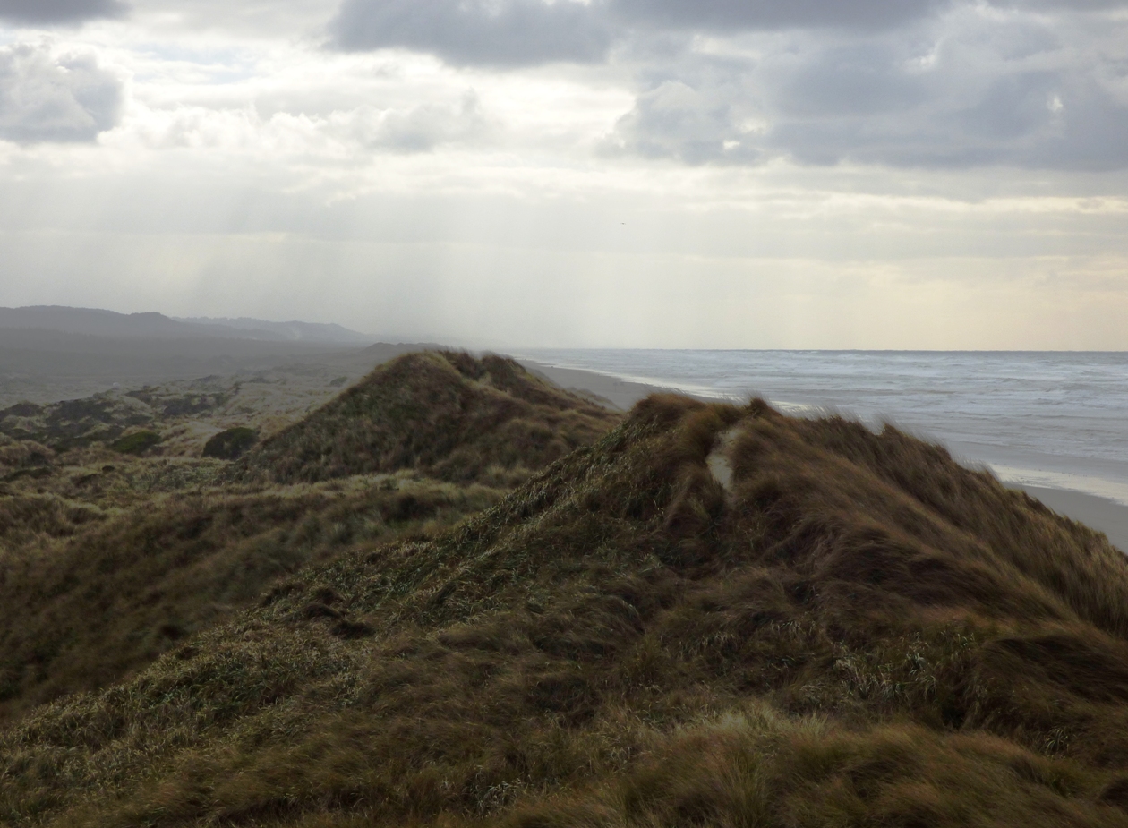
I've only just begun to explore this incredible landscape. I'm usually based out of Florence, so that's where these photos are coming from. Wave action is intense and unending. At times the waves are huge, and onshore winds can approach hurricane velocity. The first ridge of sand, the foredune, absorbs much of the impact of the wind and waves.

The dunes here have been altered extensively in the last century. Urbanization, where it's taken place has been secondary. The big changes resulted from the construction of jetties at the mouth of the Siuslaw and other rivers, which back up the sand along the coast as efficiently as a dam. The other has been the introduction of European beachgrass to augment the stabilization of migrating dunes. The native grasses have been pushed aside in many instances as the European non-native takes over. Because of the spread of grasses, 80 % of the dune sheet is covered by vegetation. In 1939 it was only 20% (US Forest Service data).
The rivers and streams that flow into the dune fields, along with a high groundwater table, have created a network of swamps, and more than two dozen ponds and lakes. Some of the larger lakes have been developed as recreational resorts.The complex provides a rich environment for wildlife, both local and migratory.

One very bizarre species in the area is the Darlingtonia californica, the carnivorous Pitcher Plant. I've written about the small park north of Florence previously. The plants can only grow in nitrogen poor environments like bogs or in serpentine soils. They get their nitrogen from the insects they consume.

Another hazard, one not truly experienced in modern times, is the effect of large tsunamis in the event of a gigantic earthquake along the Cascadia Subduction Zone. Many of the lowland areas are expected to be inundated by tsunami surges that could reach depths of several tens of feet. Evacuation routes are prominently posted in developed areas.

No comments:
Post a Comment