Showing posts with label Grapevine Mountains. Show all posts

Monday, April 25, 2016

What's Your Favorite Stereotype of a Desert? The 2% Answer? The Dunes at Death Valley

Think of the word "desert". What''s the first picture that pops into your mind? Is it Saguaro Cacti, like an old western? Is it cliffs and spires like other old westerns? Is it a painted desert, like an old Disney movie or a Roadrunner cartoon? Or is it an endless sea of sand? At different times, I've had all those stereotypes established in my head. The California desert is the one I visit most often, and ironically, not one of those stereotypes apply in our state. Except for something less than 5% of the land surface, where sand dunes cover the landscape.
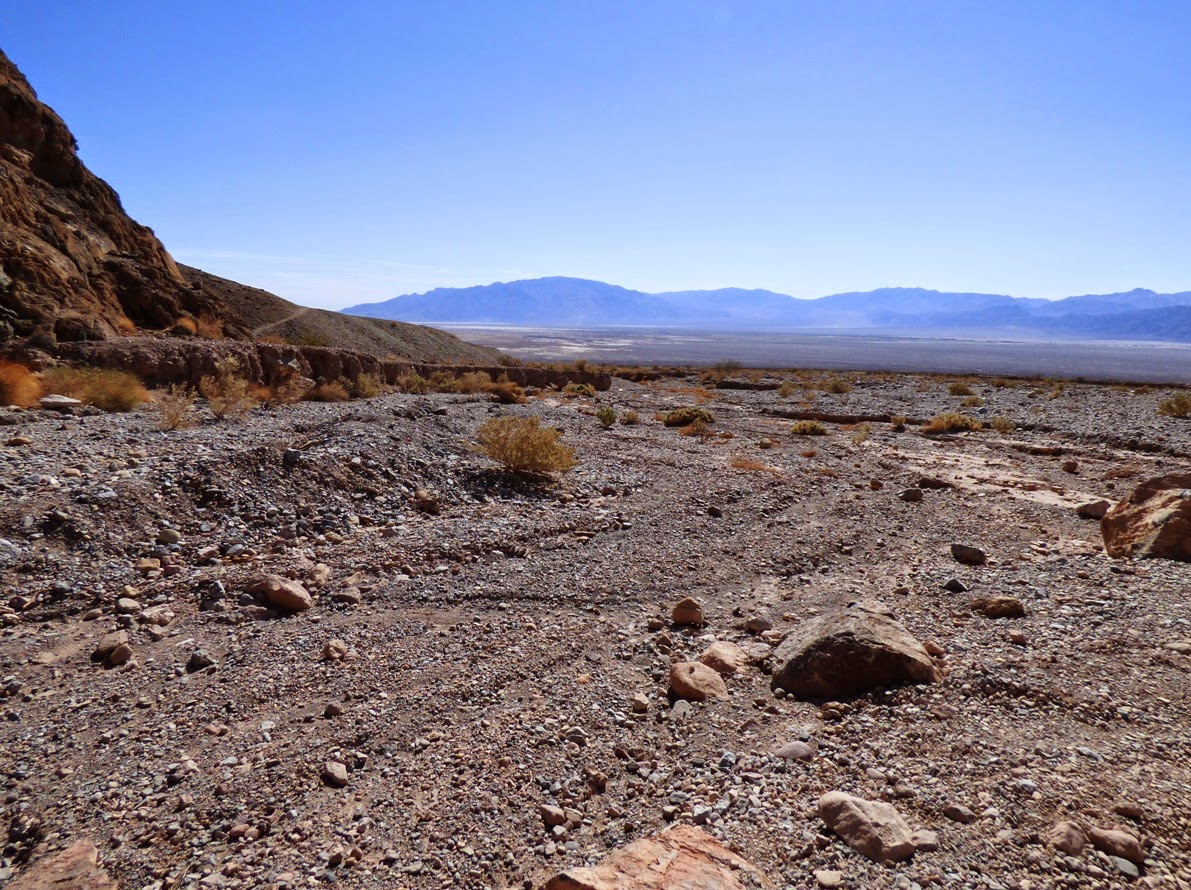
One need only to look at Death Valley itself. From a perch at the head of the Mosaic Canyon fan (above), one can see forty miles or more to the north and little in the way of dunes is visible. It's the same for the southern part of the valley, where salt is the dominant surface material. Or alluvial fans. Or the clay deposits of dry lakes. Dunes occur only where Tucki Mountain sticks out into the valley, interrupting the flow of wind currents that scream down the valley floor from the north.
The Mesquite Flat Dunes, or Death Valley Dunes, are perhaps the most famous dune field in the American West (although supporters of the dunes at White Sands in New Mexico or Great Sand Dunes in Colorado might argue the point). If you have seen CP30 and R2D2 wandering across dunes in the original "Star Wars", you've seen the dunes of Death Valley. It doesn't hurt that they are probably the most easily accessible dunes in the California desert.
And what a backdrop! The Grapevine Mountains rise thousands of feet above the sinuous ridges of sand. The dunes are not all that tall, only a hundred feet or so, but the field is several miles across, and are easy to explore.
There is a certain sensuousness about the dunes, a smoothness that belies the harsh ruggedness of other desert landscapes. It's the only place I can think of where I could imagine walking without shoes (as long as the day isn't too hot!), and the only place I could imagine laying down without carefully inspecting the ground first (there are lots of sharp and poisonous things on other parts of desert floor). It's also one of the few places I feel comfortable hiking at night without a flashlight. It's a marvelous experience to walk up and down the dune slopes, feeling the change in the temperature and humidity. In moonlight, it can be downright magical. 
The dune sands are composed of small grains of quartz and feldspar. The grains start as mudflows and flashfloods coming off the mountains that tower over the valley floor. Winds carry away the finer dust particles, and leave behind the larger pebbles and boulders. During windstorms, the sand bounces along the desert floor, a process called saltation. The grains rarely bounce more than three feet off the desert floor, a fact that I can attest to, based on the experience of standing in a violent windstorm wearing shorts. The sand was stinging my legs, but not my arms or face.
It is understandable that people might think that most desert erosion is caused by wind, but water still does most of the work. Wind can't carve deep canyons or remove mountains. But wind can be distinctive force in moving sediments around on the desert floor, and forming one of the most beautiful landscapes possible.

Thursday, April 21, 2016

Traversing Dark Canyons Where the Mountains are Upside-down: Titus Canyon Road, Death Valley


This is lonely country. There are no outposts of civilization, no phone service, and a single thin gravel road winds through the complex of canyon narrows. This is the kind of country where canyons and peaks get named for the people who disappeared there, rather than for their discoveries.  It's been 110 years since prospector Morris Titus went missing while searching for supplies for his party. The canyon now bears his name.
The serpentine road that passes through the Grapevine Mountains by way of Titus Canyon was constructed to provide access to the town of Leadfield, but the mining venture never amounted to anything, and the town was abandoned in less than a year. The road was kept open when Death Valley was declared a national monument by President Herbert Hoover, and today it is one of the most popular backcountry roads in the park. But that doesn't make it any less spooky, especially when it is late in the day and the sun is setting low on the horizon.
In places, the canyon has cut 3,000 feet into the heart of the mountain range, and the preponderance of limestone cliffs gives the gorge a ruggedness reminiscent of the Grand Canyon in Arizona. The rocks are of similar age, dating from the Paleozoic Era. But Titus Canyon has an attribute that is missing in the Grand Canyon: the rocks here are upside down.
Let's get an explanation...

Death Valley and the Basin and Range Province are largely the result of extensional forces dating from the last 15-20 million years. The crust was stretched and broken up into horsts and grabens, and earthquakes today still mostly reflect the heritage of the intense stretching of the earth's crust. It wasn't always that way. For something like 200 million years, the region was  under the influence of compressional forces, courtesy of the massive subduction zone that once existed off the California coast (it still exists to the north as the Cascadia Subduction Zone). As the ocean crust sank beneath the edge of the North American continent, the rocks that had originally formed the passive continental margin were pushed skyward and intensely folded. In places the folds literally turned the rocks upside down.
That's the case in the western part of the Grapevine Mountains, which are crossed by the road through Titus Canyon. The rocks slope into the ground towards the east, but because they are inverted, driving west takes the traveler through younger and younger rocks. You can even see the fold itself, a recumbent anticline, in a few spots (see the picture below). The rocks in the foreground are upside down, while those on the far summit above are right-side up (although all of the rocks are tilted steeply).


Because the Death Valley graben has been sinking through time, the valley is deeper and more narrow towards the edge of the range, since the river gradient is steeper and erosion faster. The narrows of Titus Canyon are memorable, being barely wide enough to accommodate the vans. Most of the students got out and walked the last mile (in the dark), because the canyon is so scenic in the lower reaches.

The rocks we were walking through date back to more than 500 million years ago, to Cambrian time. They are part of the Bonanza King formation, a limestone unit that was deposited in a warm shallow sea along the edge of North America. The animals that lived here included trilobites, a diverse group of arthropods related to Horseshoe Crabs and believe it or not, pill-bugs (roly-poly to some of you). Some trilobites could roll up in the manner of pill-bugs. There were also coral-like archaeocyathids, an ancient animal that was one of the first groups to go extinct. Think of them as a failed experiment in early life (although they were widespread and very common for a time). Brachiopods were another group found as fossils in these rocks. They are bivalved animals like the clams, but their anatomy is more primitive than a clam, if that is possible. They achieved great diversity during the Paleozoic period, but only a few species persist in today's seas (the living species are sometimes called Lampshells). There were a great many other species living in the ancient seas, but few of them had hard shells, and were thus very rarely preserved as fossils.

It can sometimes be difficult to imagine the forces that are required to turn mountains upside-down, and it's even more impressive to realize that the deformation actually took place thousands of feet, even miles deep in the crust. There was once an earlier mountain range in this place that rose to great height as a result of the compression. The mountains eventually eroded to a fairly gentle plain, only to be disrupted by extensional forces in the last 20 million years, resulting the mountains that we see today only a few million years ago. Canyons like the lower end of Titus have formed only the last few hundred thousand years.
We walked the last few yards of Titus Canyon, and emerged at the top of the massive alluvial fan built by debris washing out of the narrows. After being in dark canyons for hours, the expansive views were a shock. Way out in the distance to the left was Tucki Mountain, and at the base was the only outpost of civilization for many miles, at Stovepipe Wells. Poor Morris Titus made it out of the canyon, but it was July, and he had no water. He was doomed. Sometimes we can forget how much technology can shield us from the harsh world. We unconcernedly jumped into the vans, hoping there would still be enough hot water in the showers, and that they still be serving dinner in the restaurant.
Titus Canyon is one of the premier adventures at Death Valley National Park. High clearance cars and SUVs are recommended, and it's always a good idea to travel with others. It may be a delightful exploration of a few hours, but things can go wrong, so it's good to be with friends (my favorite t-shirt in recent years came from Death Valley; it said "Bring a compass! It's always awkward when you have to eat your friends.")!

Thursday, April 14, 2016

The Richest Mineral Resources in Death Valley: Isolation and Gullibility

A great many dreams lie broken in the rock and gravel expanses of Death Valley National Park. The California Gold Rush had brought hundreds of thousands of people to the state in the 1850s, and though few of them ever actually became rich, there was always the hope of the next big mother lode was somewhere out there in the wastelands that lay east of the Sierra Nevada. Hungry miners fanned out from the Sierra Nevada Mother Lode in a sometimes desperate search for riches in the desert.
Sometimes there was success, most notably at Bodie and Cerro Gordo, and at the Comstock Lode in Virginia City, Nevada. But most of the time the miners came up empty. And sometimes worse. Morris Titus was a prospector in 1906 who lost his life somewhere in the depths of the canyon that now bears his name. It's also the canyon we are exploring today in this blog post.
There will always be people with more money than they know what to do with, and they will always want more of it. And there will always be other people devising ways to separate such people from their money. Why put your life and health at risk in a hard country when you can just as easily succeed by convincing others to do the work and take the risks for you?

Such was the story of Leadfield in Titus Canyon. Off to the east, the town of Rhyolite had a mildly successful run as a gold mining town, lasting from 1905 to 1911, so the idea of a new discovery of ore was not unexpected. Some ores of lead may have actually existed in the area. But transporting those ores would be a problem. They needed to be taken to Beatty, Nevada, 20 miles as the crow flies, but crows don't live in Death Valley. They needed to take the ores through the narrows of Titus Canyon (often closed by flash floods) down into Death Valley, over Daylight Pass, and then to Beatty, a distance of 70 miles. And the ores really weren't all that valuable. If anyone was going to get rich from mining at Leadfield, they needed a different approach. Enter the entrepreneur Charles Julian (entrepreneur in this instance translates to "con-man").

The most valuable resource of Leadfield was isolation (of the town) and gullibility (of the investors). Rich investors tend to live in cities, and know little of geology. They are the kind of people who could be convinced that the ores at Leadfield would be transported down the canyon to paddlewheel steamers on the floor of fricking Death Valley, the driest place in North America (sorry for the near-profanity). This was an actual insinuation made by the promotional materials for the "boom" town.

The promoters of the town hacked out a road directly from Beatty to Leadfield (It's now Titus Canyon Road, the one we followed on our tour), and in March of 1926, more than 300 potential investors and hundreds of local miners crowded the site of the new town, and Leadfield was born. A post office was established in August of 1926, and it closed for good five months later. The town, which for several months boasted a population of 300, was deserted in less than a year. And Julian had disappeared with a lot of money (he died by his own hand only a few years later in Shanghai at the age of 40). Lots of gold and silver had been produced (from the pockets of the investors). Not an ounce of actual ore was ever shipped.
I wonder sometimes what life was like in a town founded on fraud and hopeful dreams. What did people do? They opened stores, hotels, and blacksmith shops, and I guess people sort of milled around wondering where to dig. At what point did people start to realize they had been conned? Those were my thoughts as we explored the handful of structures that still remain. Someone had dug a fairly extensive shaft, but I found not a trace of galena or any other lead-bearing minerals in the tailings.
It's nice to know that we live in a day and age when nobody could ever be swayed into investing in shady mining operations on the basis of slickly produced promotional materials. Surely such things don't happen today...if you agree, well, have I got a proposal for you...
Why yes, this 13 pound gold nugget came from my mine. How could you doubt me???

For an account of Leadfield's history, check out the 1957 article by the late great California travel writer Russ Leadabrand: http://www.dezertmagazine.com/mine/1957DM01/index.html.

Monday, April 11, 2016

A Single "Moment" in Geologic Time: A Finder of Lost Worlds in Death Valley

Red Pass in the Grapevine Mountains, Titus Canyon Road
Death Valley is one of the premier paleontology parks in the entire National Park system. There is a stunningly complete record of fossil-bearing strata extending over nearly a billion years, including rocks from every period of the Paleozoic era (543-251 million years ago). The Paleozoic era was a critical period of Earth's history, having seen the first appearance of most of the most important (i.e., diverse and common) animals and plants. There were the marine invertebrates like the brachiopods, corals, bryozoans, gastropods, cephalopods, pelycypods, and graptolites. There were the first fish, the first amphibians, and the first reptiles. There was the first invasion of the land by plants and animals. In fact, the only major groups that didn't evolve in Paleozoic time were dinosaurs, birds and mammals. 
Outcrop of the Titus Canyon Formation along Titus Canyon Road
Even the Grand Canyon is missing vast swaths of geologic time from the Paleozoic, including the entire Ordovician and Silurian periods.  Death Valley is truly unique, but when we start a discussion of the next two geologic eras, Death Valley is lacking in some respects. The thing is, if we are going to see exposures of the oldest rocks, rocks that are usually buried deep in the crust, than something has to happen to bring them to the surface. At Death Valley, only one layer can be found from the Mesozoic era (251-65 million years), and it's from the earliest period, the Triassic. There are Jurassic and Cretaceous rocks, but they are intrusive in nature, having formed deep in the crust from molten magma (granite and related rocks). Although dinosaurs and early mammals no doubt roamed the landscape many miles above, no record remains of their existence at Death Valley, as the rocks were uplifted and eroded away long ago.
Exposures of the Titus Canyon formation
The situation is the same for the Cenozoic era (65 million years to the present). In most parts of the park, Cenozoic rocks can be found, but none are more than 14 million years old. In other words, there is a gap of well over two hundred million years at Death Valley for which no fossil records can be found. Except for a single moment in time 34 million years ago...
Titus Canyon Road above Titanothere Canyon
Death Valley was proclaimed as a national monument in 1933 by the only U.S. president who had a career as a geologist, Herbert Hoover. A newly graduated geologist named H. Donald Curry was appointed as the first ranger/naturalist at the park. In his role, he provided evening programs for park visitors and did research during the day. He mapped large areas of the park, and was the first to describe the enigmatic turtleback surfaces that led to the discovery of an entirely new kind of fault, the detachment fault.
Upper Titus Canyon at Red Pass
Some blasting was being done to clear a road to Leadfield and down Titus Canyon. Curry noticed the rocks in the upper canyon were sedimentary, and that a skull was exposed in one of the roadcuts. It turned out to be the first discovery of a Titanothere west of the Rocky Mountains, and an entirely new species to boot (it's now called Protitanops curryi, after Curry). Further work revealed numerous other fossils as well, including Mesohippus (one of the earliest of horses), Colodon (a species of tapir), Teletaceras (a primitive Rhinoceros), Protoreodon (extinct species of artiodactyl, distantly related to modern cows, deer, pigs, and camel), and Leptomeryx (a small deer-like ruminant). Other fossils included early species of rodent, fish, and turtles.
Titanothere (Source: Wikipedia)
In other words, Curry had stumbled across a snapshot of a single moment in time that provides us a look at the world that existed after the dinosaurs had been extirpated. Mammals were working themselves into dominance of the rapidly changing terrestrial environments of the early Cenozoic era (they were in a rather intense competition for a time with the birds). That these sediments were preserved at all is lucky, as rocks of similar age are found nowhere else in the region. Somehow the so-called Titus Canyon formation was not eroded even though all the rocks dating from the time of the dinosaurs had disappeared, as well as those from the first thirty million years of the Cenozoic era. It would be another twenty million years before other sedimentary rocks would be preserved in the Death Valley region (the Artist Drive formation, 14 million years ago).
Mesohippus, an early horse species found in the Titus Canyon formation of Death Valley (from Wikipedia)

The Titus Canyon formation is composed of conglomerate, sandstone, calcareous mudstone, algal limestone, and tuffaceous sandstone, preserving what once was a savanna environment with adjacent forests. Although rocks like the Titus Canyon aren't found elsewhere in Death Valley, rocks of similar age are found in southern California (the Sespe formation), and west of the Sierra Nevada in the Great Valley (Ione formation).
Figure 147: The holotype skull and mandible of Protitanops curryi (LACM/CIT 1854). (A) Left view, (B) lateral view of right external auditory pseudomeatus, (C) dorsal view slightly rotated to the left, (D) anterior view, (E) posterior view.
The type specimen of the Protitanops curryi. A replica was on display for many years in the Death Valley National Park visitor center Source: Researchgate
This has been part of an off and on series about our February visit to Death Valley National Park. We were following the gravel road that crosses the Grapevine Mountains and descends through Titus Canyon. The road is accessible by most cars, though high clearance is recommended, and travel is definitely not recommended in bad weather (the road passes through a narrow canyon in the lower reaches). From here, we were about to pass through an upside-down mountain range!

Monday, February 29, 2016

The Age of a Mountain versus the Age of (the rocks of) a Mountain: Arriving in Death Valley National Park

Death Valley is the largest national park in the lower 48 states, and in fact is bigger than several states. It preserves some of the most spectacular corners of the Basin and Range province, a region that extends from eastern California, all of Nevada, and half of Utah. The park includes the lowest place in North America, the hottest place in the world, some of the greatest relief in North America (the difference between the highest and lowest points, over 11,000 feet), and some of the rarest and most endangered animals (the pupfish and others). And awe-inspiring scenery!

We entered Death Valley from the west, driving over the Darwin Plateau at the south end of the Inyo Mountains. Just beyond the summit we stopped briefly at the Father Crowley Vista Point, which overlooks a deep desert valley that isn't Death Valley. It's Panamint Valley, another faulted basin only a bit less deep than Death Valley itself. The setting sun highlighted the rocks exposed across the valley in the Panamint Mountains. Thousands of feet of limestone and sandstone were visible, exposing evidence of more than 100 million years of quiet deposition of mud and sand on the western margin of the North American continent during the Paleozoic Era
It was a good moment to draw a contrast between the age of a mountain range and the age of the rocks exposed within the mountain range. These are two different things. The rocks of the Panamint Mountains formed over a  period of many hundreds of millions of years, but the mountains themselves are very young (geologically). Lava flows on top of the now separated mountain ranges show that they were once connected, and that the valleys could only have formed in the last few million years. The Panamint Mountains are one of the youngest mountain ranges on the planet! By comparison, the Rocky Mountains are around 50 million years old (with some recent rejuvenation), and the Appalachians are 300 million years old (with a complex story that played out over tens of millions of years). India began slamming into Asia 40 million years ago, forming the Himalayas. The earliest Hominids, had they cared to, could have seen Death Valley before it became an actual valley.

As the shadows lengthened, we crossed Towne Pass at 4,956 feet (1,511 meters), and descended the long grade to our our sea level camp at Stovepipe Wells. We had reached the actual Death Valley. Would there be geology? Would there be flowers? Stay tuned!

Friday, April 18, 2014

Out of the Valley of Death and into an Upside Down Mountain


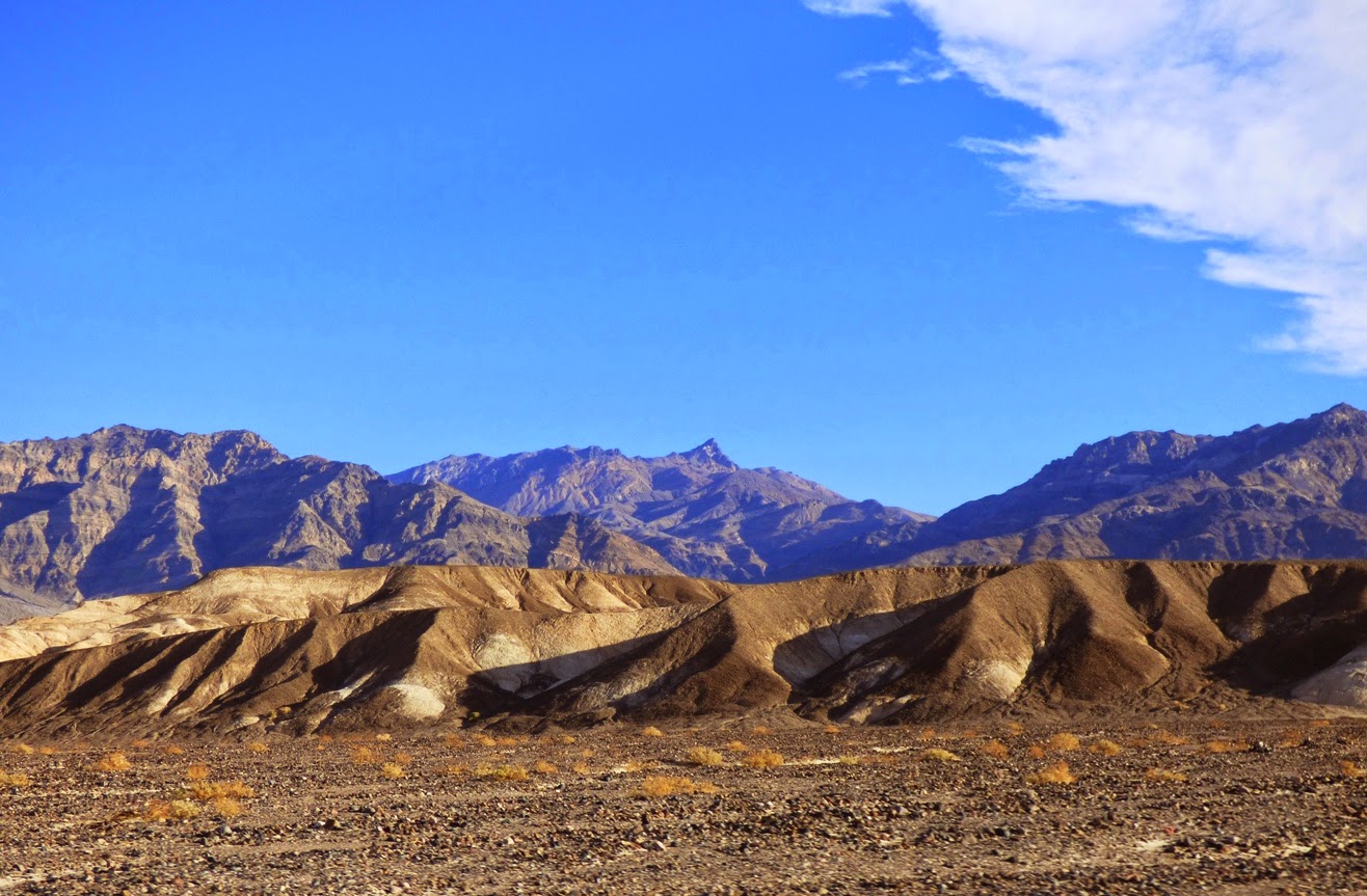
The Grapevine Mountains form the eastern margin of the Death Valley north of Stovepipe Wells, reaching elevations of nearly 9,000 feet in places. It's an imposing range, stark, barren, and rugged. All of the mountains of Death Valley are rugged pretty much by default, but erosion has not pierced deeply into many of them. They're too young geologically to have been affected much by mudflows and flashfloods in this arid environment.

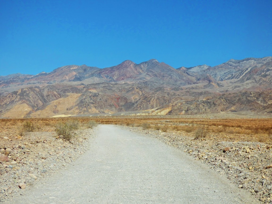
There are exceptions to everything though, and there is a canyon that practically cleaves the Grapevine Mountains in two. It's called Titus Canyon, and it is spectacular. It certainly is not a secret, and one of the great adventures of visiting Death Valley is to drive the 26 mile long gravel road through the Grapevine Mountains. Literally through the mountain, not over it. The pass at the upper end is on the east side of the mountains, not at the crest.

In places, the canyon reaches depths of 3,000 feet or more, and the steep canyon walls offer unparalleled exposures of the faults and folds that from the structure of the mountain range. As can be seen in the diagrams below, the structure is complex.

The "upside-down mountain"? The rocks of the Bonanza King Formation that are exposed in the lower canyon have been so completely folded that they are inverted. Even though the layers look only gently tilted, they are in fact upside down.
Source: California Geological Survey and National Park Service

The road through Titus Canyon is sometimes okay for normal sedans, but conditions can change, and there are rough spots. We didn't have the time to do the entire one-way journey (from east to west), but it is permissible to drive from Death Valley to the entrance of the canyon and walk into the narrows where the canyon is deepest and darkest.

We did just that on our February visit to the Valley of Death and started hiking up canyon. In places the canyon is only 20 feet wide with vertical walls. Evidence of severe floods was evident everywhere in the form of smooth polished surfaces and pockets of debris tens of feet up on the canyon walls.

The Bonanza King Formation is mostly composed of limestone or dolomite, a carbonate rock that was deposited in warm shallow water in Cambrian time just over 500 million years ago. This was not long after complex life forms first appeared on the planet, and the fossils found within the formation reflect the strangeness of the time. Most of the hard-shelled creatures were a type of arthropod called a trilobite. They resembled a cross between the Horseshoe Crabs found in today's seas, and the roly-polies that can be found in your backyard.
There are few fossils found in the Bonanza King exposures at Titus Canyon. This is a trilobite carapace from the Carrara formation at Emigrant Pass, east of Death Valley National Park.
The trilobites were extremely diverse, filling many environmental niches in the early Paleozoic seas, and they lasted for several hundred million years as a group, but by the end of the Paleozoic era they were extinct, losing out in competition with other arthropods like crabs or lobsters. Some good samples can be found in mountain ranges east of Death Valley National Park.

A mile or so up the canyon one encounters a creepy old guy standing next to the rock a fascinating exposure of broken up limestone called a megabreccia. It looks like evidence of severe geological mayhem, but was probably the result of slowly evolving deformation and cracking of the rock over millions of years of incremental folding. As cracks in the rock slowly widened, they were filled in with calcium carbonate carried in the groundwater.

In the photo above one can see the efficient manner in which flash flooding has kept the outcrop clean and visible. There is a tight turn in the canyon just downstream along with an alcove produced by mudflows impacting the canyon wall and making a sharp right turn.
We started back down the canyon taking in the incredible sight of the Cottonwood Mountains through the narrow slot canyon. It's a fascinating place to explore. As we emerged from the canyon onto the top of the alluvial fan for Titus Canyon, we had a wide-ranging view of northern Death Valley, with the Panamint and Cottonwood Mountains in the distance with the Death Valley dunes on the valley floor.

We got back in the vans and headed towards the Black Mountains. We were about to encounter Dante's View...

Monday, April 7, 2014

Out of the Valley of Death: Geology at Fifty-five


One of the first things I tell my students (and occasionally even with some success) is "don't sleep while traveling in the vans". Death Valley National Park is the largest national park in the lower 48 states, and no matter how much time one has, it's hard to take it all in. When you only have four days, it's pretty well impossible, but there is still much to see in transit between stops. On our third day out we were set to explore the northern end of Death Valley, which in a park that is mostly desert wilderness, feels even more isolated and lonely (despite the presence of Scotty's Castle up one of the side canyons).
The day started with a stunning sunrise as seen from one of the most isolated RV parks in the American west, Stovepipe Wells. The campground is literally a parking lot, but it's a parking lot with one of the most incredible views possible. The resort is situated on the distal end of the huge alluvial fan that emerges from Mosaic Canyon on Tucki Mountain, which we'll check out in a future post. The elevation is sea level, but it somehow feels higher, given the spectacular and far-ranging view.
Two great desert mountain ranges form the boundaries of the northern reaches of Death Valley, the Cottonwoods on the left and the Grapevine Mountains on the right in the picture above. The mountains tower over the valley floor, reaching nearly 9,000 feet above a valley floor that is barely above sea level. The view extends thirty miles or more.
A drive north towards the end of the valley reveals a series of classic desert features, starting with the Mesquite Flat sand dunes, sometimes known as Death Valley dunes. Sand dunes are picturesque enough by themselves, but in Death Valley they have a dramatic backdrop of high barren mountains.
We raced by at 55 miles per hour ("Honest, officer!"), but cameras these days are versatile, capturing the image as if we were standing still. And this is the sort of incredible sight one could miss if one is snoring away.
The dunes have formed here because prevailing winds sweep down the northern reaches of Death Valley (and a number of destroyed tents over the years can attest to the power of these winds). The vast bulk of Tucki Mountain at the north end of the Panamint Mountains stands in the path of these winds, causing them to break up and form eddies. The sand accumulated in the region as the powerful winds lose energy and drop their load of sand and dust. They are sometimes referred to as star dunes, or modified sub-barchan dunes. Even if you've never been to Death Valley, you've probably seen these dunes anyway; they formed the backdrop for the droids lost on the planet Tatooine in the original Star Wars movie.

In the picture above, one can see the valley floor beyond the dunes is interrupted by a terrace of some sort. This is the scarp for the Furnace Creek fault zone which is one of the important structural features of the Death Valley graben.
A closer look provides a view of light-colored sedimentary rocks exposed in the face of the scarp. The fine-grained mud and silt layers are part of the Furnace Creek formation, which was deposited into a fault trough similar to present-day Death Valley, but oriented in a more northwest-southeast direction. Crustal stretching has effected the crust in the region more than once. The erosion of the Furnace Creek formation in this dry environment produces badlands topography, which we will explore in greater detail in another post.
The fault system interrupts the surface of the alluvial fan, shifting it in an right lateral direction (the rocks across the fault are displaced to the observer's right). These faults roughly parallel the San Andreas fault, which lies far to the west. The fault is presumably still active, but has not produced a major earthquake in modern times.
Another incredible sight visible from the road is the series of alluvial fans that extend from the edge of the mountains down to the valley floor. They build up as the rare but violent flash floods and mudflows carry boulders and debris across the valley floor. They have a somewhat convex slope, becoming steeper near mountain front. Death Valley is famous for the variety and number of fans it has.
The fans reveal variations in color. The darker surfaces on the fans result from desert varnish, a mixture of manganese oxides and clay that coat the exposed surfaces of the rock. It accumulates over time, and the origin is debated. Bacteria are likely involved in the process.

As we drove further north, the valley floor narrowed, and we soon reached an area where the alluvial fans from the two mountain ranges merged in the center of the valley. We were approaching the end of the Death Valley graben. In the distance we could see dark-colored rocks coating the surface of the alluvial fans. We had reached the volcanoes of Death Valley.

In the next post: the Ubehebes!