Showing posts with label Death Valley dunes. Show all posts

Monday, April 25, 2016

What's Your Favorite Stereotype of a Desert? The 2% Answer? The Dunes at Death Valley

Think of the word "desert". What''s the first picture that pops into your mind? Is it Saguaro Cacti, like an old western? Is it cliffs and spires like other old westerns? Is it a painted desert, like an old Disney movie or a Roadrunner cartoon? Or is it an endless sea of sand? At different times, I've had all those stereotypes established in my head. The California desert is the one I visit most often, and ironically, not one of those stereotypes apply in our state. Except for something less than 5% of the land surface, where sand dunes cover the landscape.
One need only to look at Death Valley itself. From a perch at the head of the Mosaic Canyon fan (above), one can see forty miles or more to the north and little in the way of dunes is visible. It's the same for the southern part of the valley, where salt is the dominant surface material. Or alluvial fans. Or the clay deposits of dry lakes. Dunes occur only where Tucki Mountain sticks out into the valley, interrupting the flow of wind currents that scream down the valley floor from the north.
The Mesquite Flat Dunes, or Death Valley Dunes, are perhaps the most famous dune field in the American West (although supporters of the dunes at White Sands in New Mexico or Great Sand Dunes in Colorado might argue the point). If you have seen CP30 and R2D2 wandering across dunes in the original "Star Wars", you've seen the dunes of Death Valley. It doesn't hurt that they are probably the most easily accessible dunes in the California desert.
And what a backdrop! The Grapevine Mountains rise thousands of feet above the sinuous ridges of sand. The dunes are not all that tall, only a hundred feet or so, but the field is several miles across, and are easy to explore.
There is a certain sensuousness about the dunes, a smoothness that belies the harsh ruggedness of other desert landscapes. It's the only place I can think of where I could imagine walking without shoes (as long as the day isn't too hot!), and the only place I could imagine laying down without carefully inspecting the ground first (there are lots of sharp and poisonous things on other parts of desert floor). It's also one of the few places I feel comfortable hiking at night without a flashlight. It's a marvelous experience to walk up and down the dune slopes, feeling the change in the temperature and humidity. In moonlight, it can be downright magical. 
The dune sands are composed of small grains of quartz and feldspar. The grains start as mudflows and flashfloods coming off the mountains that tower over the valley floor. Winds carry away the finer dust particles, and leave behind the larger pebbles and boulders. During windstorms, the sand bounces along the desert floor, a process called saltation. The grains rarely bounce more than three feet off the desert floor, a fact that I can attest to, based on the experience of standing in a violent windstorm wearing shorts. The sand was stinging my legs, but not my arms or face.
It is understandable that people might think that most desert erosion is caused by wind, but water still does most of the work. Wind can't carve deep canyons or remove mountains. But wind can be distinctive force in moving sediments around on the desert floor, and forming one of the most beautiful landscapes possible.

Tuesday, June 2, 2015

Weather a Bit Less Strange? Death Valley in the Last Two Days: Hot!


There is, of course, hardly such a thing as "average" weather, just like there is no "average" precipitation. I'm pretty sure that the number of days in a given year that actually match the average temperature is  limited. I've been to Death Valley twice in the last two weeks; for Memorial Day weekend, when the temperatures were very cool, like twenty degrees below average, and rainy. I was back there during the last two days, and conditions had taken a thirty degree swing in the other direction, hitting as high as 118°f on Sunday afternoon. It cooled to only 87°f overnight. Average for this time of year? 105°f for the high, and 77°f for the low.
I like to think of myself as a desert rat since I'm out there seemingly all the time, but it's not exactly true. I visit deserts most often when they are a great deal more amenable to human existence. Like Death Valley in winter. I live in a place that gets plenty hot sometimes in summer, but the term "hot" is defined by temperatures topping 100°f maybe a dozen days over the summer. The hottest temperature we've ever had at home was 113°f. So spending an afternoon at 118°f was a new experience. It wasn't fun. I don't like thinking about having a vehicle breakdown in weather like this, especially since cell phone coverage is very sparse in the park.
It's funny how pictures don't really communicate how hot it is. I stepped out of the car for just a few moments, and the heat hit me like a hammer. I know one can get used to conditions like this, but it takes time, and there are limits. A former student of mine worked as part of a public safety team in Death Valley in summer and described the delightful experience of answering emergency calls in full emergency gear. When it was 124 degrees...
The sun had sunk behind the Cottonwood Mountains, but the temperature barely budged. Despite the heat, a few people were out on the dunes, but they didn't venture far from the parking area. For the first time in twenty-five years of visiting Death Valley I noticed there were no footprints on the highest dune. It was just too darn hot to go that far.
It begs the question then: what the heck was I doing visiting Death Valley in almost-summer? The first visit is easier to explain. I had scored reservations for two nights camping on the North Rim of Grand Canyon National Park (a late cancellation no doubt; the next available dates are in August). That was for Memorial Day and the Tuesday after. But we had to get there somehow with no reservations for any place between my Great Valley in California and Grand Canyon. We looked at the weather report for Death Valley and saw that temperatures would be far below normal, so we decided to give camping a try at Furnace Creek. It worked out nicely although it spritzed rain and was windy on the second night. We were comfortable enough.
The second visit was for a more unusual reason. The BBC is working on a documentary on the science of color, and they wanted to use the salt pan at Death Valley National Park as a natural setting for the color white. The crew was already headed to the states when they decided they wanted a geologist to explain why the salt is present in Death Valley. Their staff member contacted the folks at AGI (American Geological Institute), and someone there contacted the former director of the NAGT (National Association of Geoscience Teachers), and he remembered something about me visiting Death Valley all the time. The BBC folks were delighted to find out that I was traveling that general direction and asked if I could meet them Sunday at Badwater.
We met up, but there was a problem. The Badwater salt pan wasn't white! It was mostly a dirty brown color. It seems that California's four year drought has even had an effect in Death Valley, a place that is already the driest spot in North America. In wet years, the Amargosa River (a usually dry water course that drains much of western Nevada) may flow enough to fill the Badwater Basin with a foot or so of water. The clay settles, the water evaporates, and salt forms a white crust. But there hasn't been a flooding event since 2010 or so, and dust has blown across the surface of the playa (dry lake bed) in most places.
It turns out there were a few fairly wide expanses of white salt to the south of Badwater. There haven't been the flooding events, but there are still springs along the base of the Black Mountains that flow onto the floor of the valley and keep the clay wet. Salty water rises through the clay by capillary action, and the moment the water reaches the surface it evaporates, causing the salt to precipitate on the surface of the clay, forming a thin crust. It's not quite like the inches or feet of salt seen at Badwater or the Devil's Golf Course, but it was white and covered several acres, so with a bit of forced perspective, the white surface could be made to seem cover a vast area. We headed out there.
If you look carefully, you can see our cars in the distance, a bit right of center.
It was a bit cooler in the morning, the high 80s, and the temperature was expected to top out at only 110 degrees. That could be a complication, because the film crew was accompanied by a park ranger who was ordered to shut down filming if temperatures exceeded 110 degrees. No exceptions.
The host of the documentary and I headed out to the salt pan. The sediments of the alluvial fan were cemented with salt and the footing was firm, but as soon as we reached the salt itself, we were actually walking in mud with a thin crust of salt. Any concerns about the temperature were eased, sort of, by the fact that the wind was howling at 20-30 mph or more, and that kept the temperature from soaring. Of course it also made a discussion of the geology difficult to record on the sound equipment.
I have my dependable desert hat that has never been blown off my head, but I lost it repeatedly out there. I eventually gave up and did the interview without it. I was discussing geology in the middle of a desert windstorm with the temperature wavering around 110 degrees on a salt flat with a relative humidity approaching zero percent. I went through three water bottles in the two hours we were out there and still got a bit dehydrated.
Still, the crew knew what they wanted to accomplish and worked very efficiently. I even got to walk in a circle next to the sound boom so they could have the sound of my boots crunching on the ground. It was mostly unscripted, but the host, a physicist, knew how to draw the information out of me. She asked good questions. We did three takes, and then spent a fair amount of time walking across the hot surface for atmosphere scenes. They finished my part and let me go on my way, but they stayed out there for another couple of hours. They work hard on this kind of thing!
Mrs. Geotripper spent all this time sitting with the vehicles and taking most of these pictures from a quarter mile away. Both she and I were quite hot and dehydrated, so we retreated to the cafe at Furnace Creek and drank lots of liquids, and then "got out of Dodge". We headed up Townes Pass, watching the temperature drop 25 degrees as we climbed nearly 4,500 feet up the highway (perfect confirmation of the environmental temperature lapse rate of 5.5 degrees per thousand feet of elevation). For some reason or another we ended the day at Mammoth Lakes at close to 8,000 feet. I think we just wanted to feel cold for awhile...

Monday, April 7, 2014

Out of the Valley of Death: Geology at Fifty-five


One of the first things I tell my students (and occasionally even with some success) is "don't sleep while traveling in the vans". Death Valley National Park is the largest national park in the lower 48 states, and no matter how much time one has, it's hard to take it all in. When you only have four days, it's pretty well impossible, but there is still much to see in transit between stops. On our third day out we were set to explore the northern end of Death Valley, which in a park that is mostly desert wilderness, feels even more isolated and lonely (despite the presence of Scotty's Castle up one of the side canyons).
The day started with a stunning sunrise as seen from one of the most isolated RV parks in the American west, Stovepipe Wells. The campground is literally a parking lot, but it's a parking lot with one of the most incredible views possible. The resort is situated on the distal end of the huge alluvial fan that emerges from Mosaic Canyon on Tucki Mountain, which we'll check out in a future post. The elevation is sea level, but it somehow feels higher, given the spectacular and far-ranging view.
Two great desert mountain ranges form the boundaries of the northern reaches of Death Valley, the Cottonwoods on the left and the Grapevine Mountains on the right in the picture above. The mountains tower over the valley floor, reaching nearly 9,000 feet above a valley floor that is barely above sea level. The view extends thirty miles or more.
A drive north towards the end of the valley reveals a series of classic desert features, starting with the Mesquite Flat sand dunes, sometimes known as Death Valley dunes. Sand dunes are picturesque enough by themselves, but in Death Valley they have a dramatic backdrop of high barren mountains.
We raced by at 55 miles per hour ("Honest, officer!"), but cameras these days are versatile, capturing the image as if we were standing still. And this is the sort of incredible sight one could miss if one is snoring away.
The dunes have formed here because prevailing winds sweep down the northern reaches of Death Valley (and a number of destroyed tents over the years can attest to the power of these winds). The vast bulk of Tucki Mountain at the north end of the Panamint Mountains stands in the path of these winds, causing them to break up and form eddies. The sand accumulated in the region as the powerful winds lose energy and drop their load of sand and dust. They are sometimes referred to as star dunes, or modified sub-barchan dunes. Even if you've never been to Death Valley, you've probably seen these dunes anyway; they formed the backdrop for the droids lost on the planet Tatooine in the original Star Wars movie.

In the picture above, one can see the valley floor beyond the dunes is interrupted by a terrace of some sort. This is the scarp for the Furnace Creek fault zone which is one of the important structural features of the Death Valley graben.
A closer look provides a view of light-colored sedimentary rocks exposed in the face of the scarp. The fine-grained mud and silt layers are part of the Furnace Creek formation, which was deposited into a fault trough similar to present-day Death Valley, but oriented in a more northwest-southeast direction. Crustal stretching has effected the crust in the region more than once. The erosion of the Furnace Creek formation in this dry environment produces badlands topography, which we will explore in greater detail in another post.
The fault system interrupts the surface of the alluvial fan, shifting it in an right lateral direction (the rocks across the fault are displaced to the observer's right). These faults roughly parallel the San Andreas fault, which lies far to the west. The fault is presumably still active, but has not produced a major earthquake in modern times.
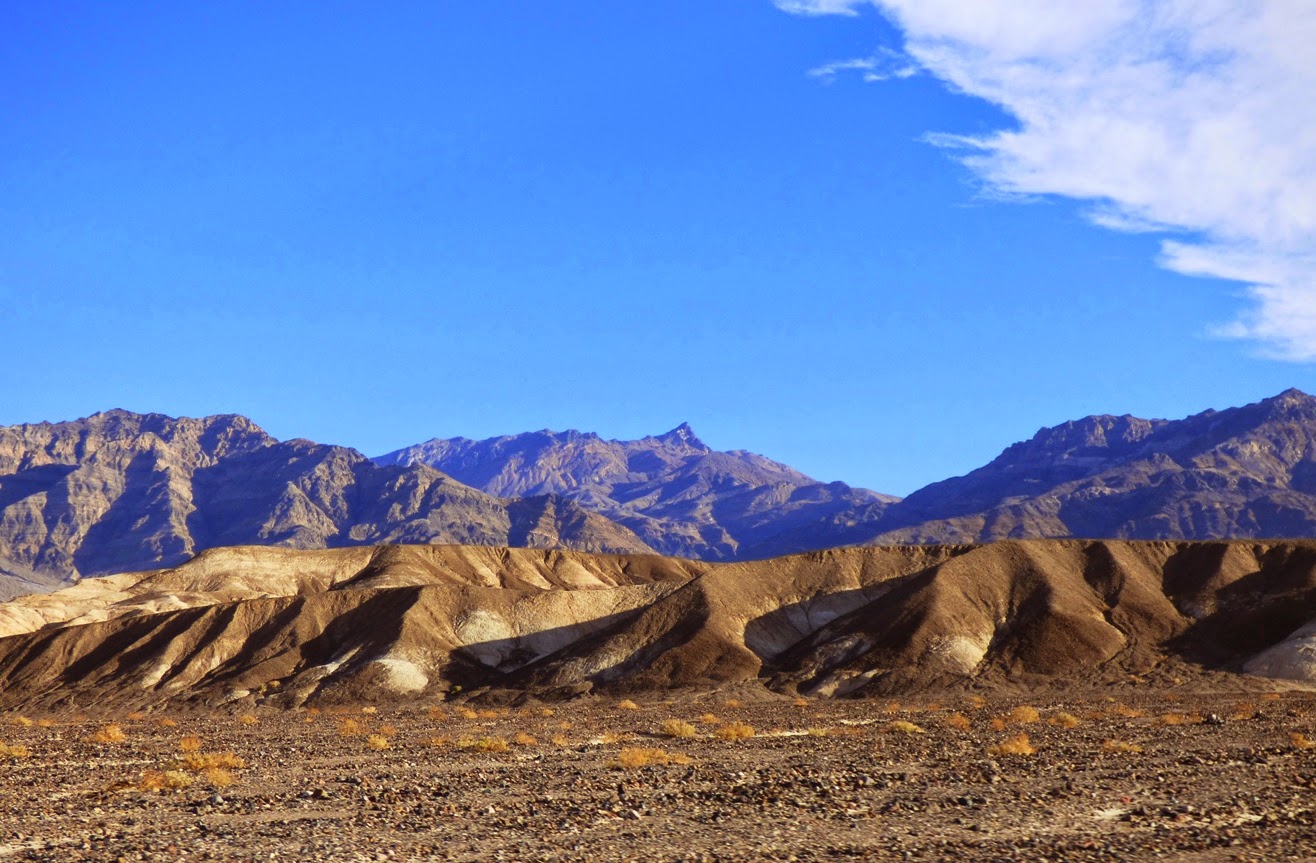
Another incredible sight visible from the road is the series of alluvial fans that extend from the edge of the mountains down to the valley floor. They build up as the rare but violent flash floods and mudflows carry boulders and debris across the valley floor. They have a somewhat convex slope, becoming steeper near mountain front. Death Valley is famous for the variety and number of fans it has.
The fans reveal variations in color. The darker surfaces on the fans result from desert varnish, a mixture of manganese oxides and clay that coat the exposed surfaces of the rock. It accumulates over time, and the origin is debated. Bacteria are likely involved in the process.

As we drove further north, the valley floor narrowed, and we soon reached an area where the alluvial fans from the two mountain ranges merged in the center of the valley. We were approaching the end of the Death Valley graben. In the distance we could see dark-colored rocks coating the surface of the alluvial fans. We had reached the volcanoes of Death Valley.

In the next post: the Ubehebes!