|
| One of the ominous turtles rising from the crust in Death Valley |
 |
| Draw closer if you dare... |
I imagine there are many reasons for this, but a large part of the problem has to do with a pushback against "authority" in society these days, with an increasing lack of trust in government and social institutions like the traditional media and religion. In a number of cases, the mistrust has been earned, but unfortunately science and scientific knowledge have ended up being lumped with the other "authorities" even though the concept of authority in science is different from the others. The authority of science is based on observation and research and has a systematic way to weed out false "facts" from objective truth (it's not perfect, of course, but the structure tends to be self-correcting over time).
Unfortunately, with the decline of science education at many levels of public and private education, the distinction has been lost in some quarters. As a result, science becomes another of the buffet of human ideas that can be believed or not believed as one wishes. The consequences will be (and indeed already are) tragic. We have a government, the only one in the world, that doesn't "believe" in climate change. It doesn't think health will suffer if we allow untested or poorly tested toxins into the environment, or if we allow increased air and water pollution. Science is taking a back seat to profit, and people will suffer and die for it. If the voting population is ignorant of the issues, and ignorant of how science works, the abuses will continue unabated.

This has led to an interesting exercise I like to do with my students. We introduce how the scientific method works (make observations, collect data, devise hypotheses, test the hypotheses, and if fully supported, designate a theory). Then we do a mind game where we place ourselves in our home here in California's Central Valley a few thousand years ago, with the knowledge and technology of the time. What would the shape of the Earth be from that point of view? There are different layers in the answers to such questions.
The first-order answer is "of course the Earth is flat". One merely needs to look around the exceedingly flat Central Valley to see that this is true. It is an explanation that works for everyone concerned and has no serious impact on their daily lives.
But there is a second-order observation to be made. A curious person might climb a local mountain and note that with the wider view that the mountain ranges in the far distance seem to disappear over the horizon (or they might see that ships disappear over the horizon at sea). The realization emerges that the world isn't as it seemed. It is dome-shaped! This new truth has implications. A flat earth offers no reasons for disasters such as earthquakes and floods such as those experienced by the inhabitants on the valley floor.
So a model is proposed to explain the observations (dome-shape, earthquakes, floods): it is suggested that the earth is actually...on the back of a gigantic turtle. When the dust clears, the analyses and arguments can begin. Turtles that we observe don't move very often, and the larger the turtle, the less often they seem to be active. A turtle the size of the earth might not move for months or years, explaining the lack of daily earthquakes. On the other hand, sometimes turtles can be seen submerging themselves in water, providing a handy explanation for occasional floods in our valley.
It might seem mildly outlandish, but the hypothesis is actually valid. If the earth actually was on the back of a turtle, the observed behavior of the planet would have a reasonable explanation.
I usually get a few giggles and chortles, but then I ask the class to prove that the earth is not on the back of a turtle. And things go a lot quieter. A few people will point out that there are pictures of the earth from space, but I respond with the fact that I've seen pictures of Tatooine (Star Wars), or Planetoid LV-426 (Alien) that were very convincing. And then they are at a loss. They haven't had the scientific background that gives them the skills to challenge oddball claims and frauds.
One night many years ago I had one of these great teaching moments. After our discussion, I had the class follow me outdoors, and we looked into the sky at the moon, which I knew was undergoing a lunar eclipse at that very moment. We could look into the sky, and see that the Earth was casting a circular shadow across the surface of the moon. No turtle legs or tails or heads anywhere.
 |
| Lunar eclipse of January 2018. No legs, no heads are apparent. |
From there we can advance to a discussion of how Eratotosthenes calculated the size of the spherical earth 2,000 years ago, and how modern satellites can detect the flattening of the polar regions of the earth, making it more accurate, and defining the globe as an oblate spheroid. When we take into account the ocean basins and mountain ranges that deviate from a perfect spheroid, we arrive at last as the current description of the Earth: a geoid, an "earth-shaped" object.
In the end, the point of the exercise is not about the shape of the Earth, but about how science works: our observations and conclusions may change in time, but because of new information and evidence, each of our models is more accurate, and closer to the actual truth. We can even acknowledge that we still don't completely understand the geometry of the Earth, realizing that there might be additional dimensions of which we are not yet aware.
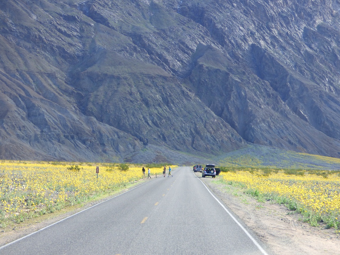
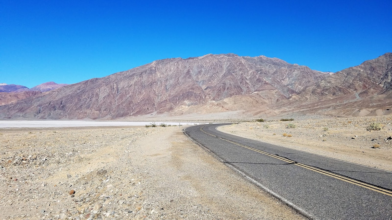
So what does that have to do with all of these pictures from Death Valley? I was very seriously going to try and make a pathetic joke that the Earth actually is made of turtle shells. A look at the top two pictures reveals the presence of some dome-like structures nearly unique to Death Valley that are actually called turtlebacks. So it is clear that the Earth is not on just one turtle. It is on top of a great many turtles, and as a result of crustal stretching and thinning, some of the turtles are breaking through the crust and entering into the upper world like marauding monsters. And there is a government conspiracy to keep these facts hidden from us...
 |
| You can access an exposure of the Badwater turtleback fault in Natural Bridge canyon. The hike is just a half mile or so. |
When these enigmatic structures were first studied in detail, they were thought to be like domes found elsewhere in the world, formed largely by compressional forces. That description, like the first order observation about the shape of the Earth sort of satisfied researchers as they worked on other regional problems, but further observations showed features inconsistent with compressional deformation. Most of the surfaces on the turtlebacks were sheared fault planes, not folded strata, and the other faults nearby were extensional ("normal") faults. As a general rule one doesn't expect to find contemporaneous faults showing oppositely oriented stresses.
Questions were raised and researchers began to doubt their original assumptions, and a new model of turtleback formation was proposed that involved extensional forces. The low-angle normal faults associated with the turtlebacks were soon being called detachment faults, and the dome-like systems of ancient metamorphic rocks were termed metamorphic core complexes. These were a new kind of fault, previously unrecognized and undescribed. Their recognition opened up new avenues of research, and new mysteries. A complete analysis is far more than can be accomplished in a blog piece like this, but I can direct you to a nice synthesis of current research on turtlebacks at this link.
 |
| The fault surface runs diagonally across the upper part of the photo. |
 |
| The fault runs roughly across the middle of the picture. This is in Natural Bridge Canyon. |