The holiday season often means the special moments with family and decorations and Santa Claus, but when your family is spread out in a thin line running the entire length of the west coast of the United States, it also means some time on the road. We have had a long way to go in the past few days, but we stopped a few times and took in some of the extraordinary geography of California's isolated north coast.
Getting to the coast from our home in the Great Valley requires crossing the Coast Ranges first. Our preferred route is through the Clear Lake region. Clear Lake itself is a huge natural lake formed by lava flows and landslides that altered and blocked water course flowing into the Russian River. It covers 68 square miles, which makes it the largest natural lake entirely within California (Lake Tahoe is larger, but is partly in Nevada. The prominent peak on the lakeshore (above) is Mt. Konocti (4,721'), which is a potentially active volcano with eruptions as recent as 10,000 years ago. Hot springs and earthquakes attest to the continued existence of magma chambers in the region.
We reached the coast in the vicinity of Eureka and Arcata and headed north on Highway 101. We soon passed an incredible sight at Humboldt Lagoons State Park. The growth of hooked spits (long linear sand bars) has led to the formation of a series of baymouth bars which isolate the coastal estuaries from the open sea (there are no big rivers in the immediate area to flush out the sand. The bars are only a few hundred feet wide at most and one extends for three miles. There are a total of four lagoons.
The lagoons are a unique ecosystem. Because they are breached only on an irregular basis, salmon and other creatures have adapted in interesting ways. Young salmon migrate downstream to find their way to the sea blocked. They live in the lagoons for extra months or even years, gaining size that may enhance their chances of survival in the open sea. On the other hand, breeding salmon may have difficulty getting into the estuaries.
Soon we were deep into the Redwood forest. The Coast Redwood only grows along the coast of California and in a tiny part of southern Oregon. They are extraordinarily large with the giants reaching heights of nearly 400 feet. They are related to the Sequoias of the Sierra Nevada, and the Dawn Redwood of China (and ornamental landscapes). The Redwoods are the tallest, but the Sequoias have the greater bulk. The Redwoods make for excellent lumber, while the Sequoias do not. It was almost their undoing.
The Redwoods once existed as an unbroken forest from the Big Sur Coast to Oregon, topping out at some 2 million acres. More than 90% of the old-growth forests were cut down during the last century, and it was only through the foresight of the founders of Save the Redwoods and other organizations that old-growth groves were purchased and given over to the state of California for permanent protection from logging. As recognition grew of the need to preserve not just patches but entire ecosystems, Redwood National Park was established in 1968 and expanded in 1978. It protects an entire watershed (Redwood Creek) that has old-growth forests as well as second-growth tracts.
We didn't have very much time, but we stopped at Humboldt Redwoods State Park, and at the visitor center for Redwood National Park as we passed through. We hated to move on, but a storm was coming and our families were awaiting our arrival. One could spend weeks among these beautiful trees and the stunning coastline. Which we intend to do as soon as possible.
Showing posts with label Redwood National Park. Show all posts
Friday, December 22, 2017
Monday, December 22, 2014
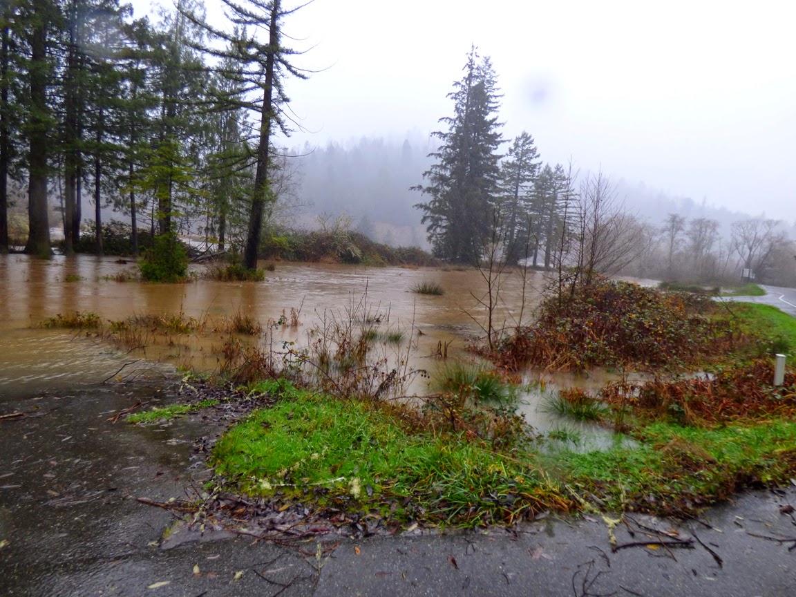
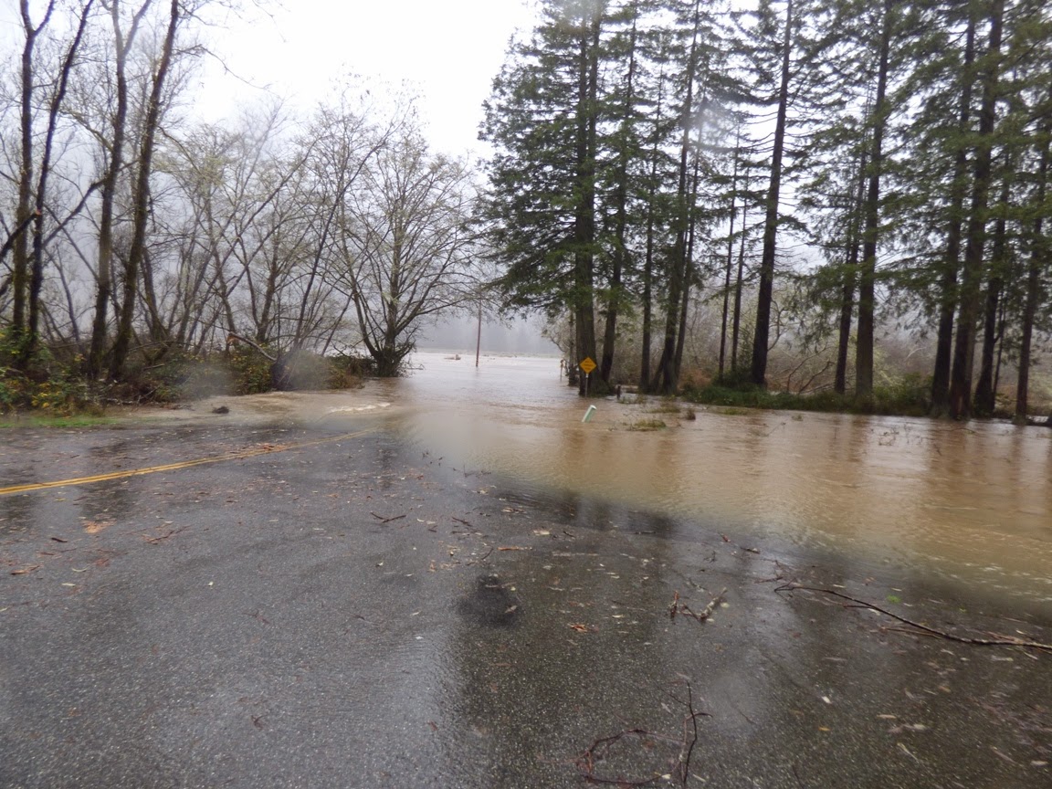
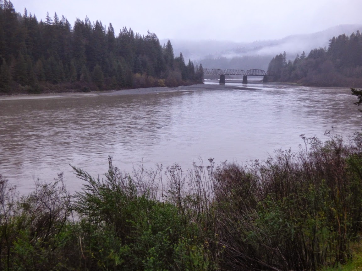
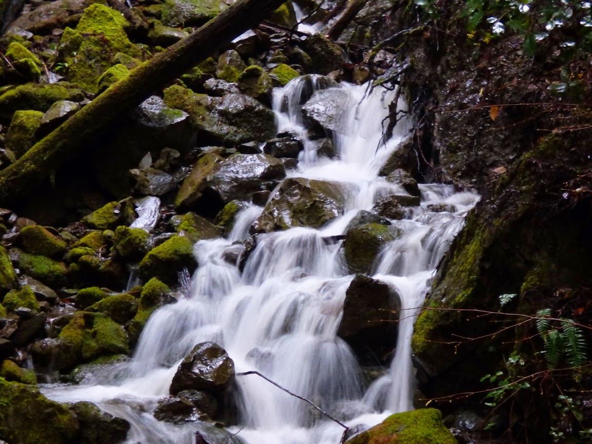
Rain? In a Rain Forest? Exploring California and Oregon on the 50th Anniversary of the Biggest Flood Ever
![]() |
| Humboldt Redwoods State Park, California |
![]() |
| Humboldt Redwoods State Park |
![]() |
| Prairie Creek, Redwood National Park, CA |
![]() |
| Prairie Creek Elk viewing area, Redwood National Park |
![]() |
| Eel River at Phillipsville |
![]() |
| Eel River, CA |
![]() |
| Umpqua River at Roseburg, Oregon |
![]() |
| Umpqua River at Roseburg, Oregon |
A year ago at this time, the river was pretty much a pool...
Here is how hydrologists see these rivers, with a graph that shows the discharge (cubic feet per second) over a week's time. The effect of the latest storms is clear.
The water flows will undoubtably drop off over the next few days, but it is impressive to see what the rivers can do. Today is the 50th anniversary of the worst floods ever in the region, the 1964 Christmas Floods. In that flood there had been a cold snap where a great deal of snow had accumulated and the ground was frozen. Then, over several days around Christmas, a Pineapple Express storm dropped prodigious amounts of rain, which melted the snow, but did not melt the soil, so little of the rain was absorbed into the ground. Around three dozen people were killed, and several dozen villages were completely erased. Many dozens of bridges were destroyed, and numerous other towns were cut off for weeks.
Compare the numbers:
Klamath River today, 95,500 cfs, in 1964, 565,000 cfs.
Eel River today, 40,000 cfs, in 1964, 750,000 cfs.
Rogue River (Oregon) today: 23,500, in 1964, 200,000 cfs.
By some estimates, such a flood is estimated to happen maybe once in a thousand years.
Saturday, December 22, 2012
Watching a Slow Motion Apocalypse: The Relentless Erosion of the Sea
Now that the apocalypse is over and the world is ended we can get back to life and celebrate what is beautiful about our planet. I wasn't going to take the chance that the world would end with me sitting on a couch at home bored, so I was on the road on the northern California-southern Oregon coast during a pretty major storm. A couple of feet of snow was expected in the mountains, along with several inches of rain in the coastal areas and some very high winds. It was not a day for photography: dark skies and rain made things pretty tough. I only got a few photos that I thought were worth sharing.
We were at the Kuchel Visitor Center in Redwood National Park near Orick, California for a short break. I wandered down towards the beach (without a jacket as usual) and snapped a few shots of the sea stacks just offshore. The surf was running at 10-15 feet and maybe more, and the wind was whipping spray off the whitecaps, making for a violent geologic environment.
Large winter waves are among the most powerful of the forces in geology, capable of dislodging huge blocks of rock and tumbling them to sand in an incredibly short period of time. One can look at these sea stacks and consider how short a time they will exist before disappearing into the surf. Or...one can consider that they are the last remnants of what used to be land. Erosion is a relentless power that is continually and forever changing the face of our planet despite our best efforts to contain it.
Worried about apocalypses? It's fun to play with the concept sometimes (I love some of the Google+ and Facebook posters today), but really, it's pretty conceited of us to think that we are such a twisted generation that we get to see the end of the world. There have been plenty of people worse than us in the past, and in the future there will be plenty more. The world isn't going to end. But we do have the power to change the world into a slightly better place before we leave it. The real apocalypse is taking place slowly, one grain of sand at a time. The world will change and all things will pass away. But we have been given a short period of consciousness, and the company of many others, and we have choices about what we do with our short existence on planet Earth.
We were at the Kuchel Visitor Center in Redwood National Park near Orick, California for a short break. I wandered down towards the beach (without a jacket as usual) and snapped a few shots of the sea stacks just offshore. The surf was running at 10-15 feet and maybe more, and the wind was whipping spray off the whitecaps, making for a violent geologic environment.
Large winter waves are among the most powerful of the forces in geology, capable of dislodging huge blocks of rock and tumbling them to sand in an incredibly short period of time. One can look at these sea stacks and consider how short a time they will exist before disappearing into the surf. Or...one can consider that they are the last remnants of what used to be land. Erosion is a relentless power that is continually and forever changing the face of our planet despite our best efforts to contain it.
Worried about apocalypses? It's fun to play with the concept sometimes (I love some of the Google+ and Facebook posters today), but really, it's pretty conceited of us to think that we are such a twisted generation that we get to see the end of the world. There have been plenty of people worse than us in the past, and in the future there will be plenty more. The world isn't going to end. But we do have the power to change the world into a slightly better place before we leave it. The real apocalypse is taking place slowly, one grain of sand at a time. The world will change and all things will pass away. But we have been given a short period of consciousness, and the company of many others, and we have choices about what we do with our short existence on planet Earth.
Labels:
apocalypse,
orick,
Redwood National Park,
sea stack,
wave erosion
Subscribe to:
Posts (Atom)